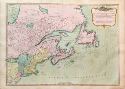
William Henry Toms - Map Of Devonshire 1742
Similar Sale History
View More Items in Maps & AtlasesRelated Maps & Atlases
More Items in French Maps & Atlases
View MoreRecommended Transportation & Travel Collectibles
View More


Item Details
Description
This is an original finely engraved color map of the county of Devon, then known as Devonshire, created by Badeslade T., engraver Toms W. H. for the 1742years in England.This is a geographical map that shows Devonshire, one of the counties of England. Devonshire is located in the south west of the country and is a major tourist destination due to its natural beauty and historical sites. The map allows you to see cities, villages, rivers, mountains and other geographical features of the region. It can be useful for travelers, researchers and those interested in this region. Size: 16 cm x 16 cm.
Condition
Very good condition.
Buyer's Premium
- 23%
William Henry Toms - Map Of Devonshire 1742
Estimate $400 - $500
Get approved to bid.
Shipping & Pickup Options
Item located in Stockholm, Bromma, seOffers In-House Shipping
Payment

TOP


![Manuscript Map of Givet, France on the Belgian Border: [Givet, France]. "Charlemont les deux Givets et la Couronne d'Haurs Pour servir au Projet de mil Sept cent trente sept" Fine manuscript plan in ink and colours on paper (no visible watermark), scale a](https://p1.liveauctioneers.com/1968/273926/143704769_1_x.jpg?height=310&quality=70&version=1672435208)


![Bouchette's monumental and rare wall map of Lower Canada: [WALL MAP-CANADA] BOUCHETTE, JOSEPH. To His Royal Highness George Augustus Frederick, Prince of Wales, Duke of Cornwall, Prince Regent of the United Kingdom of Great Britain & Ireland, this Topog](https://p1.liveauctioneers.com/292/326828/175962869_1_x.jpg?height=310&quality=70&version=1713473479)


