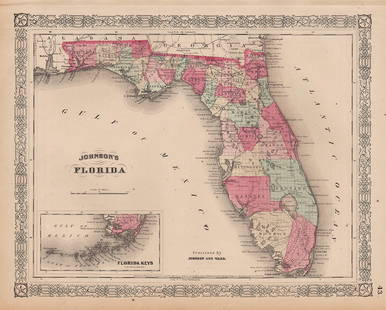
Johnson's New Illustrated Family Atlas 1869
Similar Sale History
View More Items in Maps & AtlasesRelated Maps & Atlases
More Items in Maps & Atlases
View MoreRecommended Transportation & Travel Collectibles
View More


Item Details
Description
Author: Johnson, Alvin J.
Title: Johnson's New Illustrated Family Atlas of the World...With Physical Geography, and with Descriptions, Geographical, Statistical and Historical, Including the Latest Federal Census, and the Existing Religious Denominations in the World
Place Published: New York
Publisher:A. J. Johnson, Publisher
Date Published: 1869
Description:
With 113 map sheets present, as listed on the contents page, including hand-colored maps (many double-page), East and West Hemispheres, plus insets; 3 hand-colored plates, including: world time differences, flags of the world (double-page), 5 charts showing the heights of mountains and lengths of rivers of the world (double-page); also, 12 physical maps (on 4 pages); steel-engraved frontispiece of the U.S. Capitol building; plus several wood engravings within the text, plus 2 full-page Coats of Arms leaves. (Folio) 44.5x36 cm (18x14½"), period half morocco and decoratively blind-stamped cloth, stamped and lettered in gilt, marbled endpapers.
The comprehensive Johnson's atlas of the United States and the world, with 36 maps focusing on the Americas, with 28 of those pertaining to the United States. A photographic portrait of an unidentified uniformed man with a facsimile inscription beneath is affixed to the front free endpaper. This volume is less common than the earlier editions.
Double-page maps include: United States and several individual U.S. states; the World; North America; portions of Canada; New York City and Brooklyn; Richmond and Peninsular Campaign; Texas; California and the Southwest; West Indies; South America; Europe; England and Wales; France, Spain and Portugal; Prussia and Germany; Italy; Austria, Turkey in Europe and Greece; Russia; Asia; Hindoostan (India) and Farther India (Southeast Asia); China and Japan; Africa; Australia and East Indies.
Condition
Buyer's Premium
- 25%
Johnson's New Illustrated Family Atlas 1869
Shipping & Pickup Options
Item located in San Francisco, CA, usPayment


![[MAP - TOURS]: [MAP - TOURS]MUNSTER, SEBASTIAN. Die abcontrafactur der schonen und Edlen Statt Tours. [Circa 1598]. Woodcut map, hand colored, text printed on verso, framed. Visible area measures 12 1/2 x 15 1/2 inc](https://p1.liveauctioneers.com/292/326828/175962850_1_x.jpg?height=310&quality=70&version=1713473479)
![Three editions of the famous Bermuda shareholder map: [MAPS-BERMUDA] Three editions of Mappa Aestivarum Insularum, Alias Barmudas Dictarum, ad Ostia Mexicani Aestuary. Three engraved maps with hand-coloring, in](https://p1.liveauctioneers.com/292/326828/175962852_1_x.jpg?height=310&quality=70&version=1713473479)
![A Map of Sri Lanka, called Taprobana, from the 1486 Ulm Ptolemy: [MAP - SOUTHEAST ASIA] PTOLEMY, CLAUDIUS. Duodecima Asie Tabula. [Ulm: Johann Reger, 1486]. The sheet measures 16 x 22 1/2 (41 x 57.5 cm); Woodcut map, hand colored, printed text on verso](https://p1.liveauctioneers.com/292/326828/175962848_1_x.jpg?height=310&quality=70&version=1713473479)
![A marked improvement on the Hondius map of 1606 (Burden): [MAP-NORTH AMERICA] [JANSSON, JAN]. Virginiae partis australis et Floridae partis orientalis, interjacentiumq, regionum Nova Descriptio. Amsterdam: Blaeu, circa 1640. Second state (left cherub with ta](https://p1.liveauctioneers.com/292/326828/175962857_1_x.jpg?height=310&quality=70&version=1713473479)


