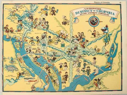
Lg. RI National Register of Historic Districts Map
Similar Sale History
View More Items in Maps & Atlases
Related Maps & Atlases
More Items in Maps & Atlases
View MoreRecommended Transportation & Travel Collectibles
View More


Item Details
Description
J.C. Andrews
Rhode Island
20th Century
National Register survey map of Cranston, Warwick, and Pawtuxet with color coded buildings from 1638 to 1970 with revisions from 1973 by John Lombard.
Print, ink on paper,Map 6' x 42".Overall 75" x 44 1/2"
From the collection of a Cranston, Rhode Island estate.
Rhode Island
20th Century
National Register survey map of Cranston, Warwick, and Pawtuxet with color coded buildings from 1638 to 1970 with revisions from 1973 by John Lombard.
Print, ink on paper,Map 6' x 42".Overall 75" x 44 1/2"
From the collection of a Cranston, Rhode Island estate.
Condition
Areas of tape residue around edges, areas of toning, and discoloration, sandwiched between Plexiglas, otherwise good condition and displays well.
Buyer's Premium
- 25%
Lg. RI National Register of Historic Districts Map
Estimate $100 - $300
8 bidders are watching this item.
Shipping & Pickup Options
Item located in Cranston, RI, usOffers In-House Shipping
Local Pickup Available
Payment

Auction Curated By

Fine & Decorative Arts

President & Auctioneer, Asian Arts, 19-20th Century Decorative Arts
TOP


![[Maps] Gio. Ant. Magnini, Italia, 1620: [Maps] Gio. Ant. Magnini, Italia, 1620, Giovanni Antonio Magnini. Italia, data in luce da Fabio suo figliuolo al Serenissimo Ferdinado Gonzaga Duca di Matoua edi Monserrato etc. Bologna, for Sebastian](https://p1.liveauctioneers.com/188/326797/176317457_1_x.jpg?height=310&quality=70&version=1713847031)


