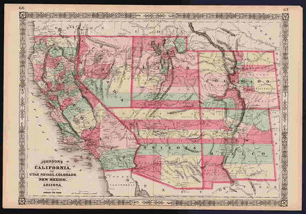
1863 Johnson Map of US West -- Johnson's California Territories of New Mexico Arizona Colorado
Similar Sale History
View More Items in Maps & AtlasesRelated Maps & Atlases
More Items in Maps & Atlases
View MoreRecommended Transportation & Travel Collectibles
View More


Item Details
Description
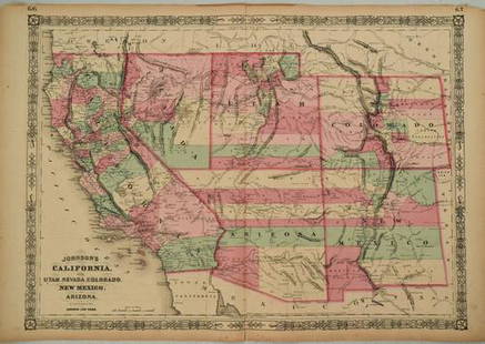
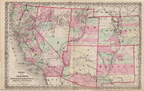
This is a superb large double page map of the US West in the middle of the Civil War. Arizona still commands the southern tip of Nevada. Arizona still has the county configurations of the old New Mexico Territory, with the addition of Castle Dome and Ewell counties in the south. The Colorado Gold Mines are located in Castle Dome counties adjacent to the Colorado River. The Utah/Nevada border is shown at 115 degrees. This is a completely new plate with much changed in watershed and mountain detail and several of the earlier notations removed. Details the U.S. Mail routes, the Emigrant roads to California, the proposed railroad route through Utah, Nevada and California, and the Pony Express trail. In the southern part of Arizona is the "Gadsden Ten Million Purchase of Mexico." The map is filled with historic and interesting notations. One note in the area of Quartzite, Arizona refers to the area as being "exceedingly fertile and abundantly timbered and well watered." Another in southern Nevada says "This vast Unexplored Region of country is supposed to be inhabited by tribes of Indians. Altitude nearly 5000 feet." Plethora of detail also include towns, forts, Indian reservations, mining districts, etc.
Reserve: $160.00
Shipping:
Your purchase is protected:
Photos, descriptions, and estimates were prepared with the utmost care by a fully certified expert and appraiser. All items in this sale are guaranteed authentic.
In the rare event that the item did not conform to the lot description in the sale, Jasper52 specialists are here to help. Buyers may return the item for a full refund provided you notify Jasper52 within 5 days of receiving the item.
Condition
Very good. Slight edge toning and a few small foxing spots. Issued centerfold. Hand colored.
Buyer's Premium
- 15%
1863 Johnson Map of US West -- Johnson's California Territories of New Mexico Arizona Colorado
Estimate $250 - $300
2 bidders are watching this item.
Shipping & Pickup Options
Item located in Ohio, US$18 shipping in the US
Payment
Accepts seamless payments through LiveAuctioneers
See More Items From This Jasper52 Seller

Auction Curated By

Maps Expert
TOP


![U.S. Senator's 'Mexican Murder' Map: Heading: (U.S.-Mexico border conflict) Author: [Fall, Senator Albert] Title: Investigation of Mexican Affairs / Hearings before a Subcommittee of the Committee on Foreign Relations Place Published: Wa](https://p1.liveauctioneers.com/642/326037/175553698_1_x.jpg?height=310&quality=70&version=1713477451)


