MAP, Canada & Greenland, Mortier
Similar Sale History
View More Items in Maps & Atlases
Related Maps & Atlases
More Items in Maps & Atlases
View MoreRecommended Transportation & Travel Collectibles
View More


Item Details
Description
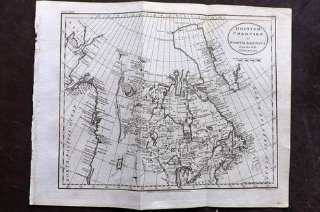
Northern Canada, Greenland & Iceland. Pierre Mortier, Carte Particuliere de l'Amerique Septentrionale, ou sont Compris le Destroit de Davids, le Destroit de Hudson, &c. Dresse sur les Relations les Plus Nouvelles, 1700 (circa). Hand Color. A beautifully engraved, large sea chart of the Arctic regions covering from Hudson and Baffins bays to Iceland and a bit of the coast of Ireland. Interestingly, the Destroit d' Anian is located quite close to the open-ended Buttons Bay in the bottom left corner of the map. Kershaw notes that the chart is based on Sanson's cartography, and though it offers nothing new, it "results in an impressive map of the Arctic as it was known at the close of the 17th century." This is the first state according to Burden.
LITERATURE: Burden #763; Kershaw #177.
LITERATURE: Burden #763; Kershaw #177.
Condition
Full contemporary color with numerous small cracks from the oxidation of the green pigment that have been mostly closed on verso with archival materials. A 9" edge tear at top right has been repaired with archival materials on both recto and verso. Several centerfold separations at top and bottom have also been archivally repaired with minute loss along the upper centerfold. Grade: B
Dimensions
22.9 x 32.4 in
Buyer's Premium
- 20% up to $5,000.00
- 15% above $5,000.00
MAP, Canada & Greenland, Mortier
Estimate $500 - $650
Shipping & Pickup Options
Item located in Richmond, VA, usOffers In-House Shipping
Local Pickup Available
Payment
Accepts seamless payments through LiveAuctioneers

TOP


![Churchill, Awnsham & John 1744 Folio Map. Greenland: "The Map of Groenland" Copper Engraved Map Published 1704-47 [1744] London for "A Collection of Voyages and Travels..." By Awnsham & John Churchill. The work based mostly on the Voyages and Travels in](https://p1.liveauctioneers.com/3952/320085/171971827_1_x.jpg?height=310&quality=70&version=1708266709)


![Bouchette's monumental and rare wall map of Lower Canada: [WALL MAP-CANADA] BOUCHETTE, JOSEPH. To His Royal Highness George Augustus Frederick, Prince of Wales, Duke of Cornwall, Prince Regent of the United Kingdom of Great Britain & Ireland, this Topog](https://p1.liveauctioneers.com/292/326828/175962869_1_x.jpg?height=310&quality=70&version=1713473479)


![A group of American prints, maps and graphics many in Perry Hopf frames: [CANADA-NATIVE AMERICANS] A group of miscellaneous prints, maps and graphics of mostly Canadian and Native American interest. A large group of about 19 items (all but one framed, most in fine Perry Ho](https://p1.liveauctioneers.com/292/326828/175962871_1_x.jpg?height=310&quality=70&version=1713473479)


