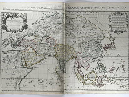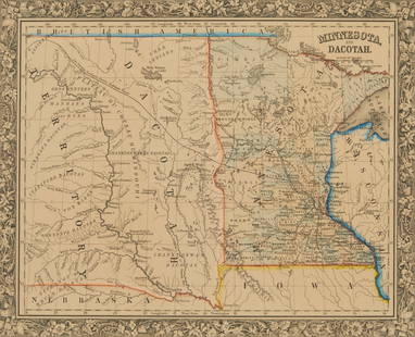
Nicolas Sanson Atlantis Insula Map Hand Colored E
Similar Sale History
View More Items in Maps & AtlasesRelated Maps & Atlases
More Items in Maps & Atlases
View MoreRecommended Transportation & Travel Collectibles
View More


Item Details
Description
Nicolas Sanson (1600-1677), "Atlantis Insula," Amsterdam: Mortier, ca. 1700. This wonderful hand colored engraving map of America purportedly shows the Western Hemisphere about 200,000 years ago before the earliest human civilizations.
The map features the lost continent of Atlantis in the 17th Century. The map shows the divisions of the land masses, as divided by the god Neptune, among his ten sons.
Thule island is depicted and was believed to be the source of Nordic races, based upon the work of Heinrich Schliemann. Schliemann believed Homer's Iliad and Odyssey to be factual. He then discovered ancient Troy in Asia Minor.
Atlantis was first introduced by Plato about 400 B.C. The next 2300 years, several other pseudo intellects and scholars helped perpetuate the theory.
Dimensions: Sight; height: 16 1/2 in x width: 22 1/4 in. Framed; height: 23 1/4 in x width: 28 1/2 in.
SKU: 03572
Condition
Good condition, toning throughout, areas of soiling and creasing, mostly evident along the center fold.
Buyer's Premium
- 28%
Nicolas Sanson Atlantis Insula Map Hand Colored E
Estimate $200 - $400
7 bidders are watching this item.
Shipping & Pickup Options
Item located in St. Paul, MN, usSee Policy for Shipping
Payment

TOP


![Rare BLAEU, WILLEM. 1571-1638 Map Hand Colored....: Rare BLAEU, WILLEM. 1571-1638 Map Hand Colored. Insulae Americanae in Oceano Septentrionali, Cum Terris adjacentibus. Amsterdam: [1635 or later]. (Measures Frame Size 19.5" x 25" and Map Size Approx 1](https://p1.liveauctioneers.com/7170/206903/105467557_1_x.jpg?height=310&quality=70&version=1624450453)


![HAND COLORED MAP OF PERU & COUNTRY OF THE AMAZONS, 1747, BY EMANUEL BOWEN, FRAMED: A New And Accurate Map Of Peru And The Country Of The Amazones. Drawn From The Most Authentick French Maps &C. And Regulated By Astronomical Observations, London]: William Innys [et al.], 1747. A deta](https://p1.liveauctioneers.com/957/328836/177180798_1_x.jpg?height=310&quality=70&version=1715021458)


![[Maps] Gio. Ant. Magnini, Italia, 1620: [Maps] Gio. Ant. Magnini, Italia, 1620, Giovanni Antonio Magnini. Italia, data in luce da Fabio suo figliuolo al Serenissimo Ferdinado Gonzaga Duca di Matoua edi Monserrato etc. Bologna, for Sebastian](https://p1.liveauctioneers.com/188/326797/176317457_1_x.jpg?height=310&quality=70&version=1713847031)
![[Maps] Martin Zeiler, Itinerarium Italiae, 1640: [Maps] Martin Zeiler, Itinerarium Italiae, 1640, Martini Zeilleri. Itinerarium Italiae Nov-Antiquae: oder, Raiss-Beschreibung durch Italien, Matthaus Merian, Frankfurt, 40 plates, most double-page, in](https://p1.liveauctioneers.com/188/326797/176317459_1_x.jpg?height=310&quality=70&version=1713847031)


![[MAP]. TODESCHI, Pietro. [Nova et Acurata Totius Americae Tabula auct. G.I. Blaeu] America quarta: [MAP]. TODESCHI, Pietro. [Nova et Acurata Totius Americae Tabula auct. G.I. Blaeu] America quarta pars orbis quam plerunq, nuvum orbem appellitant primo detecta est anno 1492 a Christophoro Columbo...](https://p1.liveauctioneers.com/197/329395/177650542_1_x.jpg?height=310&quality=70&version=1715364962)


