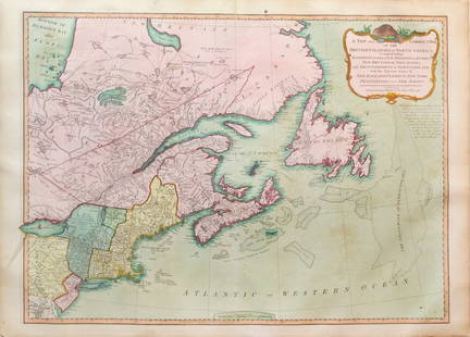
Bellin Map of the Carribean
Abel Auer Sale History
View Price Results for Abel AuerRelated Maps & Atlases
More Items in French Maps & Atlases
View MoreRecommended Transportation & Travel Collectibles
View More


Item Details
Description
BELLIN, Jacques Nicolas (1703-1772).
Carte du Golphe du Mexique et des Isles de l'Amerique...
Engraved map with hand color in full.
Paris, 1754.
11 3/8” x 15 1/4” visible, 16 1/2” x 20” framed.
Attractive map of the islands of the Caribbean with the parts of the United States and Mexico that border the Gulf of Mexico, Central America, and the northern coastline of South America. Routes of several explorers are shown, including Cortez, Ponce de Leon, and Hernandez de Cordova, along with many coastal place names. A delicately engraved rococo-style title cartouche fills the upper right.
Buyer's Premium
- 30%
Bellin Map of the Carribean
Estimate $600 - $1,000
3 bidders are watching this item.
Shipping & Pickup Options
Item located in New York, NY, usSee Policy for Shipping
Payment

Related Searches
TOP


![Manuscript Map of Givet, France on the Belgian Border: [Givet, France]. "Charlemont les deux Givets et la Couronne d'Haurs Pour servir au Projet de mil Sept cent trente sept" Fine manuscript plan in ink and colours on paper (no visible watermark), scale a](https://p1.liveauctioneers.com/1968/273926/143704769_1_x.jpg?height=310&quality=70&version=1672435208)


![Carte de l'Isle de Bourbon, autrefois Mascareigne'. Réunion. BELLIN 1750 map: CAPTION PRINTED BELOW PICTURE: Carte de I’Isle de Bourbon, autrefois Mascareigne [Map of the island of Réunion, formerly Mascarenhas] DATE PRINTED: 1750 IMAGE SIZE: Approx 21.5 x 25.5cm, 8.](https://p1.liveauctioneers.com/5584/326888/175994452_1_x.jpg?height=310&quality=70&version=1713903186)
![Nouvelle Carte des Isles Carolines' Islands. Micronesia Palau. BELLIN 1761 map: CAPTION PRINTED BELOW PICTURE: Nouvelles Carte des Isles Carolines [New map of the Caroline Islands] DATE PRINTED: 1761 IMAGE SIZE: Approx 21.5 x 40.5cm, 8.5 x 16 inches (Large); Please note that this](https://p1.liveauctioneers.com/5584/326888/175994373_1_x.jpg?height=310&quality=70&version=1713903186)

![Carte réduite de la Mer du Sud'. South Pacific. Australia. BELLIN 1753 map: CAPTION PRINTED BELOW PICTURE: Carte réduite de la Mer du Sud [Map of the South Seas] DATE PRINTED: 1753 IMAGE SIZE: Approx 21.5 x 37.0cm, 8.5 x 14.5 inches (Large); Please note that this is a fo](https://p1.liveauctioneers.com/5584/326888/175994441_1_x.jpg?height=310&quality=70&version=1713903186)


