


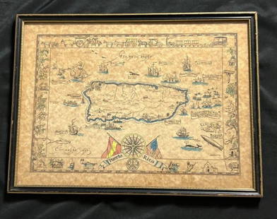
Bowen: Antique Map of Hispaniola & Puerto Rico, 1747
Similar Sale History
View More Items in Maps & Atlases


Related Maps & Atlases


![Antique Map of Scotland: [Antique Map of Scotland] "A New and Correct Map of Scotland or North Britain. with all the Post and Military roads, divisions & ca. Drawn from the most approved surveys, Illustrated with many additio](https://p1.liveauctioneers.com/268/328386/176967773_1_x.jpg?height=310&quality=70&version=1714748870)


More Items in Maps & Atlases
View More![[Maps] Martin Zeiler, Itinerarium Italiae, 1640: [Maps] Martin Zeiler, Itinerarium Italiae, 1640, Martini Zeilleri. Itinerarium Italiae Nov-Antiquae: oder, Raiss-Beschreibung durch Italien, Matthaus Merian, Frankfurt, 40 plates, most double-page, in](https://p1.liveauctioneers.com/188/326797/176317459_1_x.jpg?height=310&quality=70&version=1713847031)
![[Maps] Gio. Ant. Magnini, Italia, 1620: [Maps] Gio. Ant. Magnini, Italia, 1620, Giovanni Antonio Magnini. Italia, data in luce da Fabio suo figliuolo al Serenissimo Ferdinado Gonzaga Duca di Matoua edi Monserrato etc. Bologna, for Sebastian](https://p1.liveauctioneers.com/188/326797/176317457_1_x.jpg?height=310&quality=70&version=1713847031)


![[MAP]. TODESCHI, Pietro. [Nova et Acurata Totius Americae Tabula auct. G.I. Blaeu] America quarta: [MAP]. TODESCHI, Pietro. [Nova et Acurata Totius Americae Tabula auct. G.I. Blaeu] America quarta pars orbis quam plerunq, nuvum orbem appellitant primo detecta est anno 1492 a Christophoro Columbo...](https://p1.liveauctioneers.com/197/329395/177650542_1_x.jpg?height=310&quality=70&version=1715364962)


Recommended Transportation & Travel Collectibles
View More


Item Details
Description
The Hispaniola and Puerto Rico bottom half of Bowen's beautifully engraved Cuba/ Hispaniola and Puerto Rico double map from his A Complete System of Geography. Expertly remargined at the top, the map features detailed topography and many place names (especially on Hispaniola) and is graced by a charming rococo cartouche.
Emanuel Bowen (1694- 1767) was an English map engraver, who worked as a geographer for George II of England and Louis XV of France. His attractive maps are recognizable by his habit of filling every corner and space of the map with jottings and footnotes, both historical and topographical.
Please note that this lot has a confidential reserve. When you leave a bid in advance of the auction, submit your maximum. The bidder who has submitted the highest bid wins the lot, provided the bid exceeds the reserve price.
Shipping:
Your purchase is protected:
Photos, descriptions, and estimates were prepared with the utmost care by a fully certified expert and appraiser. All items in this sale are guaranteed authentic.
In the rare event that the item did not conform to the lot description in the sale, Jasper52 specialists are here to help. Buyers may return the item for a full refund provided you notify Jasper52 within 5 days of receiving the item.
Condition
b&w; upper margin added where the Cuba half of the map was detached?
Buyer's Premium
- 15%
Bowen: Antique Map of Hispaniola & Puerto Rico, 1747
Estimate $90 - $100
4 bidders are watching this item.
Shipping & Pickup Options
Item located in New York, USSee Policy for Shipping
Payment
See More Items From This Jasper52 Seller

Auction Curated By

Maps Expert
TOP