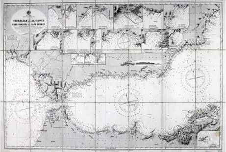
Antique Sea Chart Map England Holland Flanders, 1771
Similar Sale History
View More Items in Maps & AtlasesRelated Maps & Atlases
More Items in European Maps & Atlases
View MoreRecommended Transportation & Travel Collectibles
View More


Item Details
Description
NORTH SEA coast chart. East Anglia Holland Flanders 'A correct chart of the sea coasts of England, Flanders and Holland. Shewing the sands, shoals, rocks and dangers, the bays, harbours, roads, buoys, beacons & seamarks on the said coasts. ' This fabulous nautical chart shows the southern part of the North Sea with the adjacent coasts of England (including much of Kent, Essex, Suffolk and Norfolk), Holland and Flanders (Belgium and the Pas de Calais). Offshore features, notably depths and sandbanks are marked, include the Broad Fourteens. Many coastal towns and villages are named.
Date Printed: 1771 Image Size: Approx 46.0 x 57.5cm, 18 x 22.5 inches (Large); Please note that this is a folding map. Type: Decorative antique eighteenth century copperplate nautical sea chart, printed on thick paper, with attractive hand colouring Condition: Fair: There are four small, inconspicuous, wormholes which have been professionally restored. Light damp stain in bottom corner margin, not extending into the printed area. Verso: There is nothing printed on the reverse side, which is plain Folding: This is a folding map. Artist/Cartographer/Engraver: Mount & Page, based closely on the similar chart by Captain Greenvile (or Greenville) Collins. Provenance: Sold by R. Mount & T. Page on Tower Hill, London
Shipping: Domestic: Flat-rate of $24.00 to anywhere within the contiguous U.S. International: Foreign shipping rates are determined by destination. Location: This item ships from United Kingdom
Your purchase is protected:
Photos, descriptions, and estimates were prepared with the utmost care by a fully certified expert and appraiser. All items in this sale are guaranteed authentic.
In the rare event that your purchase from this auction does not meet your expectations, Jasper52 specialists are here to help. If the item did not conform to the lot description in the sale, U.S. buyers may return the item for a full refund provided you notify Jasper52 within 5 days of receiving the item.
Shipping:
Your purchase is protected:
Photos, descriptions, and estimates were prepared with the utmost care by a fully certified expert and appraiser. All items in this sale are guaranteed authentic.
In the rare event that your purchase from this auction does not meet your expectations, Jasper52 specialists are here to help. If the item did not conform to the lot description in the sale, U.S. buyers may return the item for a full refund provided you notify Jasper52 within 5 days of receiving the item.
Condition
Fair: There are four small, inconspicuous, wormholes which have been professionally restored. Light damp stain in bottom corner margin, not extending into the printed area.
Buyer's Premium
- 10%
Antique Sea Chart Map England Holland Flanders, 1771
Estimate $550 - $650
4 bidders are watching this item.
Get approved to bid.
Shipping & Pickup Options
Item located in United KingdomSee Policy for Shipping
Payment
Accepts seamless payments through LiveAuctioneers
See More Items From This Jasper52 Seller

Auction Curated By

Maps Expert
TOP


![Mount & Page: Antique Coast Profile of Ireland, 1749: Title/Content of Map: '[A description of the sea coast of Ireland]' The following places are shown or referred to on the coastal profile chart: Galloway (Galway) Aran Islands Limerick Date Printed: 17](https://p1.liveauctioneers.com/5584/110608/56777156_1_x.jpg?height=310&quality=70&version=1507840413)


![[FLAGS]. 31-star American parade flag. Ca 1850-1859.: [FLAGS]. 31-star American parade flag. Ca 1850-1859. 22 x 36 1/2 in. cotton flag with 31 printed stars, configured in a double medallion surrounding a much larger central star, that is haloed in both](https://p1.liveauctioneers.com/197/329785/177758218_1_x.jpg?height=310&quality=70&version=1715625218)


