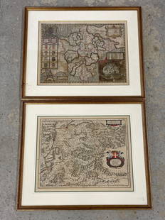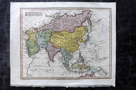
Colored Engraved Early Map of Straits of Magellan
Similar Sale History
Recommended Items


Item Details
Description
"Exquisita & Magno Aliquot Mensium Periculo Lustrata et iam Retecta Freti Magellanici Facies. Eijgentlicke Asbeeldinghe der Magellanischer Strate die nu met Veel Gevaers Eitelijeke Maenden Doorsien van Nieus Ondecktis" Colored Engraved Early Map of the Straits of Magellan by Gerard Mercator - This rare piece is a highly decorative, important early map of the Straits of Magellan, predating the discovery of the Straits of Le Maire. The map was created in 1610 by renowned cartographer Gerard Mercator, and was the earliest map of the Straits of Magellan to appear in a commercial atlas. The map is oriented with the south at the top, and has a magnificent compass rose in the center of the piece, pointing downward indicating that North is at the bottom of the map. The map also features three highly decorated cartouches, one with the title of the map, one with the scale, and one of which shows a profile view of the entrance to the strait. Throughout the map are also illustrations of sailing ships and various sea creatures. This piece is one of the most fascinating and decorative of all regional American maps, illustrating an important period in the history of the discovery of the Americas and water routes from the Atlantic to the Pacific. The map has been professionally matted and framed, and is in excellent condition. The piece (including the frame) measures 25"W x 20"L. Gerardus Mercator (1512-1594) was a 16th-century German-Netherlandish cartographer, geographer and cosmographer. He was renowned for creating the 1569 world map based on a new projection which represented sailing courses of constant bearing as straight lines, an innovation that is still used in nautical charts today. In his own day he was the world's most famous geographer. Mercator was also an accomplished engraver, calligrapher and maker of globes and scientific instruments. Unlike other great scholars of the time, he did not travel often, and instead learned about geography through his personal library of over 1000 books and maps, and from his vast correspondence in six languages with other scholars, statesmen, travellers, merchants and seamen.
Buyer's Premium
- 23%
Colored Engraved Early Map of Straits of Magellan
Estimate $350 - $500
5 bidders are watching this item.
Shipping & Pickup Options
Item located in Agoura Hills, CA, usSee Policy for Shipping
Payment

Related Searches
TOP


![[MAPS]. A group of 9 early engraved maps and views, includi...: [MAPS]. A group of 9 early engraved maps and views, including: PORCACCHI, Tomaso. Descrittione Dell’Isola di S. Lorenzo. Venice, circa 1570s–1600s. Engraved and hand colored map vignette,](https://p1.liveauctioneers.com/928/252933/131521916_1_x.jpg?height=310&quality=70&version=1656110480)


![The History of New Holland, 1787: [misattributed to William Eden]. The History of New Holland. London: Stockdale, 1787. Octavo. 2 folding engraved maps, both hand-colored in outline. (Clean tears to both). Contemporary calf (worn). Pr](https://p1.liveauctioneers.com/3975/327539/176427073_1_x.jpg?height=310&quality=70&version=1714063840)
