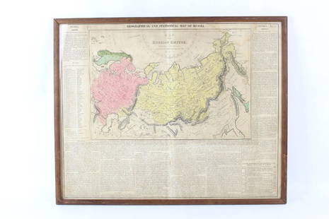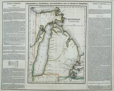
Geographical & Statistical Map of England for the
Similar Sale History
Recommended Items


Item Details
Description
Geographical and Statistical Map of England for the Elucidation of Lavoisne's Genealogical Historical Chronological and Geographical Atlas, 1828, printed by J. Barfield, hand-colored copper engraved map, overall (with frame): 21"h x 24"w
Buyer's Premium
- 24% up to $150,000.00
- 15% up to $1,000,000.00
- 10% above $1,000,000.00
Geographical & Statistical Map of England for the
Estimate $50 - $100
4 bidders are watching this item.
Shipping & Pickup Options
Item located in Oakland, CA, usSee Policy for Shipping
Payment

Related Searches
TOP


![Mercator's map of China 1606: Heading: (China, Korea & Japan) Author: Mercator, Gerard Title: China Place Published: [Antwerp] Publisher: Date Published: [1606 - printed later] Description: Copper-engraved map,](https://p1.liveauctioneers.com/642/326037/175553816_1_x.jpg?height=310&quality=70&version=1713477451)

