Early European Maps
Similar Sale History
View More Items in Maps & AtlasesRelated Maps & Atlases
More Items in Maps & Atlases
View MoreRecommended Transportation & Travel Collectibles
View More


Item Details
Description
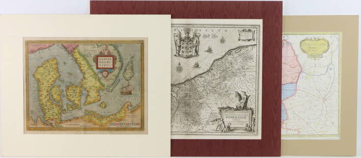
Pair of historic 18th/19th century maps including; 1.) Framed early 18th century copper plate engraved map titled “Plan der Belagerung von Friedrichshall, angefangen von Carl dem XII der Schweden….” by Johann Baptist Homann and published in Nuremberg, in the 1720’s. Map details the siege of Fredrikshald and its fortress Fredriksten during the Great Northern War in 1718. Map presents hand coloring and measures 20” x 24” (sight) and is housed in frame measuring 23.5” x 27.5”. Map exhibits strong color, some toning with center vertical fold. 2.) Framed early 19th century copper plate engraved map of Denmark, Iceland and the Feroe Islands by William Dassauville. Map published by Thomson Baldwin & Cradock, London & Edinburgh, 1814. Map presents hand coloring and measures 20” x 24” (sight) and is housed in frame measuring 26.5” x 33.5”. Map exhibits strong color, some toning with center vertical fold. **Please Note: This item is NOT eligible for in-house shipping. Please refer to the terms and conditions of this auction for recommended shippers.
Buyer's Premium
- 25%
Shipping & Pickup Options
Item located in Hatfield, PA, usSee Policy for Shipping
Payment
Accepts seamless payments through LiveAuctioneers

TOP


![[Maps] Gio. Ant. Magnini, Italia, 1620: [Maps] Gio. Ant. Magnini, Italia, 1620, Giovanni Antonio Magnini. Italia, data in luce da Fabio suo figliuolo al Serenissimo Ferdinado Gonzaga Duca di Matoua edi Monserrato etc. Bologna, for Sebastian](https://p1.liveauctioneers.com/188/326797/176317457_1_x.jpg?height=310&quality=70&version=1713847031)
![[Maps] Martin Zeiler, Itinerarium Italiae, 1640: [Maps] Martin Zeiler, Itinerarium Italiae, 1640, Martini Zeilleri. Itinerarium Italiae Nov-Antiquae: oder, Raiss-Beschreibung durch Italien, Matthaus Merian, Frankfurt, 40 plates, most double-page, in](https://p1.liveauctioneers.com/188/326797/176317459_1_x.jpg?height=310&quality=70&version=1713847031)


![[MAP]. TODESCHI, Pietro. [Nova et Acurata Totius Americae Tabula auct. G.I. Blaeu] America quarta: [MAP]. TODESCHI, Pietro. [Nova et Acurata Totius Americae Tabula auct. G.I. Blaeu] America quarta pars orbis quam plerunq, nuvum orbem appellitant primo detecta est anno 1492 a Christophoro Columbo...](https://p1.liveauctioneers.com/197/329395/177650542_1_x.jpg?height=310&quality=70&version=1715364962)


