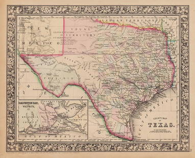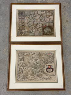
Two Early Maps of the Texas Republic
Similar Sale History
View More Items in Maps & AtlasesRelated Maps & Atlases
More Items in Maps & Atlases
View MoreRecommended Transportation & Travel Collectibles
View More


Item Details
Description
Two Early Maps of the Texas Republic
each engraved with hand-coloring,
the first by T. G. Bradford, engraved by G. W. Boynton, published Boston, 1838;
the second by C. S. Williams, from A New Universal Atlas Containing Maps of the various Empires, Kingdoms, States and Republics of The World by Henry S. Tanner, published as pl. 35, Philadelphia, 1847.
Each matted, glazed and framed.
16-1/8" x 13" and 12" x 14-3/4", framed 28" x 25" and 17-3/4" x 21", respectively
Condition
The absence of a condition report does not guarantee that a lot is in perfect condition or free from damage and/or wear. We strongly suggest that you request a condition report prior to bidding on any lot. All transactions are governed by New Orleans Auction Galleries' Conditions of Sale.
Buyer's Premium
- 25%
Two Early Maps of the Texas Republic
Estimate $1,000 - $1,500
15 bidders are watching this item.
Shipping & Pickup Options
Item located in New Orleans, LA, usSee Policy for Shipping
Payment

Related Searches
TOP


![[Maps] Gio. Ant. Magnini, Italia, 1620: [Maps] Gio. Ant. Magnini, Italia, 1620, Giovanni Antonio Magnini. Italia, data in luce da Fabio suo figliuolo al Serenissimo Ferdinado Gonzaga Duca di Matoua edi Monserrato etc. Bologna, for Sebastian](https://p1.liveauctioneers.com/188/326797/176317457_1_x.jpg?height=310&quality=70&version=1713847031)


