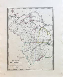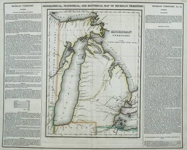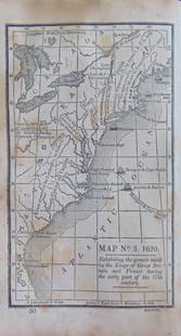
Hutchins Land Ordinance Map of 1785 by Matthew Carey
Similar Sale History
View More Items in Maps & AtlasesRelated Maps & Atlases
More Items in American Maps & Atlases
View MoreRecommended Transportation & Travel Collectibles
View More


Item Details
Description
HUTCHINS, Thomas (1730-1789).
Plat of the Seven Ranges of Townships Being Part of the Territory of the United States N.W. of the River Ohio... Capt. Thomas Hutchins.Engraved map with original hand color in outline.
Philadelphia: Carey, 1814.
25 3/4" x 16 1/4" sheet.
An important early map of eastern Ohio completed under the direction of Thomas Hutchins, who was the first and only official Geographer to the United States. In accordance with the Land Ordinance of 1785, Hutchins conducted the first survey that divided public land into Ranges and Townships, but it was not until 1815 that the township plat, a "planimetric base map that laid down legal subdivisions in each township" assumed its modern form. This government land division approach became the standard throughout the Midwest, South, and West in the 19th century. This map is one of the first of its kind (Phillips (Atlases) #722-28; cf. Wheat & Brun #677.).
Buyer's Premium
- 25%
Hutchins Land Ordinance Map of 1785 by Matthew Carey
Estimate $1,500 - $3,000
1 bidder is watching this item.
Get approved to bid.
Shipping & Pickup Options
Item located in New York, NY, usOffers In-House Shipping
Local Pickup Available
Payment

Related Searches
TOP


![Mitchell Map of Western U.S.: *** START PRICE IS THE RESERVE *** [America] MITCHELL, Samuel Augustus (1792-1868). A New Map of Texas, Oregon and California with the Regions Adjoining. Engraving with original hand color, with origi](https://p1.liveauctioneers.com/1968/163248/82424595_1_x.jpg?height=310&quality=70&version=1583340284)


![Map of U.S., 1846: *** START PRICE IS THE RESERVE *** [America] HAVEN & EMMERSON. Map of the United States and Mexico Including Oregon, Texas and the Californias. Engraved map with original hand color. New York, 1846. 1](https://p1.liveauctioneers.com/1968/163248/82424576_1_x.jpg?height=310&quality=70&version=1583340284)


![[MAPS]. HOMANN, Johann Baptist, HOMANN HEIRS, and Georg Matthäus SEUTTER. [Composite Atlas].: [MAPS]. HOMANN, Johann Baptist (1663-1724), HOMANN HEIRS, and Georg Matthäus SEUTTER (1678-1757). [Composite Atlas]. [Nuremberg, Augsburg, and others: Homann Heirs and others, maps dated between](https://p1.liveauctioneers.com/197/329395/177650530_1_x.jpg?height=310&quality=70&version=1715364962)


