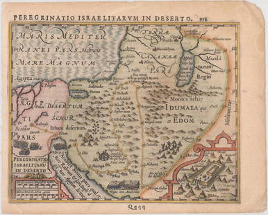
Panoramic Map of the Holy Land
Similar Sale History
View More Items in Maps & AtlasesRelated Maps & Atlases
More Items in Maps & Atlases
View MoreRecommended Transportation & Travel Collectibles
View More


Item Details
Description
Map of Eretz Israel, its cities and its holy sites including Jerusalem, Hebron, Jaffa, Tiberias and Safed. Originally made by Rabbi Chaim Solomon Pinie from Safed, and first printed in the 19th century. Hebrew and German. Apparently, this is a later print from the 20th century. Unidentified stamp on the back.Approximately 46X55 cm. Good condition, light losses to the margins, wear.
Buyer's Premium
- 27%
Panoramic Map of the Holy Land
Estimate $150 - $200
6 bidders are watching this item.
Shipping & Pickup Options
Item located in Jerusalem, ilOffers In-House Shipping
Local Pickup Available
Payment

Related Searches
TOP


![1550 Munster Map of Holy Land and Cyprus -- [Holy Land and Cyprus]: Title: 1550 Munster Map of Holy Land and Cyprus -- [Holy Land and Cyprus] Cartographer: S Munster Year / Place: 1550, Basel Map Dimension (in.): 10.8 X 6.7 in. This a superb woodblock map of the Holy](https://p1.liveauctioneers.com/5584/265564/138674312_1_x.jpg?height=310&quality=70&version=1666735666)


![Fremin: Holy Land Antique Atlas, 1820: Map: [Untitled] Holy Land Atlas Cartographer: A. R. Fremin Place & Date: Paris / 1820 / 1824 Size: 10 3/4" x 16 1/2" Condition: b&w; overall age toning; some browning and staining, more noticeable in](https://p1.liveauctioneers.com/5584/110192/56545726_1_x.jpg?height=310&quality=70&version=1507151271)


