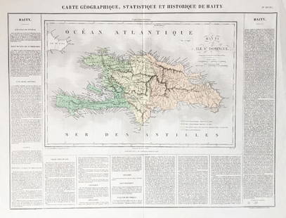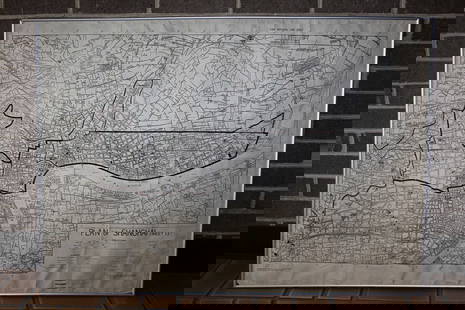
Buchon: Antique Map of the Americas in 1825
Similar Sale History
View More Items in Maps & AtlasesRelated Maps & Atlases
More Items in Maps & Atlases
View MoreRecommended Transportation & Travel Collectibles
View More


Item Details
Description
A fascinating double-folio Western Hemisphere map from the Atlas Geographique, Statistique, Historique, et Cronologique des Deux Ameriques, the French version of Carey & Lea's American Atlas, published in Paris by J. Carez. The highly detailed and accurate map of the Americas in 1825 shows South America divided into the now independent republics of Colombia, Peru, Chile, and la Plata (Argentina); the Empire of Brazil; and the English, Dutch, and French colonies of Guiana. In North America, the Mexican Republic encompasses California, Texas, and the rest of what is now the US Southwest. The U.S. and British North America extend from the Atlantic seaboard to the Pacific, with their current western border fixed. Russian America encompasses Alaska and much of what is now the Yukon Territory and British Columbia. The routes of Columbus from Spain to Hispaniola; Cortez, from Havana to Mexico City; Pizarro, from Porto Bello to Cusco; and the voyage of Lewis and Clark in North America are all highlighted. Surrounding the map on either side are text blocks and charts describing the geography, history, colonization, exploration, population, and political divisions of the hemisphere.
Please note that this lot has a confidential reserve. When you leave a bid in advance of the auction, submit your maximum. Jasper52 will bid on your behalf as much as necessary to ensure that you meet the reserve price or that you remain in the lead, up to your maximum. The bidder who has submitted the highest bid wins the lot, provided the bid exceeds the reserve price.
Shipping:
Your purchase is protected:
Photos, descriptions, and estimates were prepared with the utmost care by a fully certified expert and appraiser. All items in this sale are guaranteed authentic.
In the rare event that your purchase from this auction does not meet your expectations, Jasper52 specialists are here to help. If the item did not conform to the lot description in the sale, U.S. buyers may return the item for a full refund provided you notify Jasper52 within 5 days of receiving the item.
Condition
wash color; light overall age toning; minor browning and fraying along outer edges of margins, otherwise a beautifully preserved exemplar?
Buyer's Premium
- 10%
Buchon: Antique Map of the Americas in 1825
Estimate $70 - $80
1 bidder is watching this item.
Shipping & Pickup Options
Item located in New York, USSee Policy for Shipping
Payment
Accepts seamless payments through LiveAuctioneers
See More Items From This Jasper52 Seller

Auction Curated By

Maps Expert
Related Searches
TOP


![L' Asie. Asia Tartary China Mughal Empire. BUFFIER c1818 old antique map chart: CAPTION PRINTED BELOW PICTURE: L' Asie [Asia] DATE PRINTED: c1818 IMAGE SIZE: Approx 14.0 x 18.0cm, 5.5 x 7 inches (Medium); Please note that this is a folding map. TYPE: Antique engraved map CONDITIO](https://p1.liveauctioneers.com/5584/329387/177649271_1_x.jpg?height=310&quality=70&version=1715717898)


![[MAP]. TODESCHI, Pietro. [Nova et Acurata Totius Americae Tabula auct. G.I. Blaeu] America quarta: [MAP]. TODESCHI, Pietro. [Nova et Acurata Totius Americae Tabula auct. G.I. Blaeu] America quarta pars orbis quam plerunq, nuvum orbem appellitant primo detecta est anno 1492 a Christophoro Columbo...](https://p1.liveauctioneers.com/197/329395/177650542_1_x.jpg?height=310&quality=70&version=1715364962)


![[MAPS]. HOMANN, Johann Baptist, HOMANN HEIRS, and Georg Matthäus SEUTTER. [Composite Atlas].: [MAPS]. HOMANN, Johann Baptist (1663-1724), HOMANN HEIRS, and Georg Matthäus SEUTTER (1678-1757). [Composite Atlas]. [Nuremberg, Augsburg, and others: Homann Heirs and others, maps dated between](https://p1.liveauctioneers.com/197/329395/177650530_1_x.jpg?height=310&quality=70&version=1715364962)


