
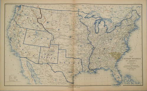
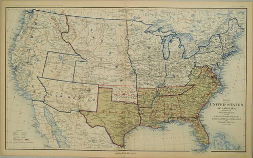
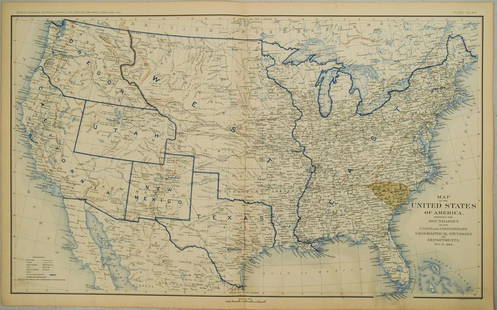
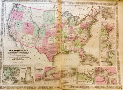
Old Map of 1864 United States with Civil War Boundaries
Similar Sale History

Recommended Items


Item Details
Description
Old Map entitled "Map of the United States of America Showing Boundries of the Union & Confederate Geographic Divisions and Departments Dec. 31, 1864." Printed by Julius Bien & Co. Lith, NY. Top marked "Atlasto Accompany the Official Records of the Union and Confederate Armies 1861-1864 Plate CLXX". This item wsa purchased by the conisgnor as an "original 1864 map in excellent condition". This is not our area of expertise, so the item is being sold "as-is". Item will come rolled in a cardboard tube. Map measures 18" x 28.5"
Buyer's Premium
- 17%
Old Map of 1864 United States with Civil War Boundaries
Estimate $250 - $350
10 bidders are watching this item.
Shipping & Pickup Options
Item located in Shelbyville, IN, usSee Policy for Shipping
Payment

Related Searches
TOP






![Charles Dickens 1842 Boz Ball Invitation: "Ladies Ticket" illustrated engraved ticket invitation. [New York], [1842]. Signed in type by Secretaries C.D. Colden and D. C. Pell and Chairman Robert H. Morris . Period ink inscription to verso rea](https://p1.liveauctioneers.com/7226/322253/173251699_1_x.jpg?height=310&quality=70&version=1710004847)

![[KURZ & ALLISON, LITHOGRAPHERS]. Full Rank - Major Generals...: [KURZ & ALLISON, LITHOGRAPHERS]. Full Rank - Major Generals of the United States Army - Civil War 1861-65. [Chicago: Kurz & Allison, 1887]. Black and white lithograph image of mounted Union Generals,](https://p1.liveauctioneers.com/928/328184/176813670_1_x.jpg?height=310&quality=70&version=1714496988)


![Group of 6 Assorted Chromolithographs Plus Three Black and ...: Group of 6 Assorted Chromolithographs Plus Three Black and White Lithographs. [V.p., ca. 1880s-1930s]. Sizes range from approximately 5 ½ x 8” to 22 ½ x 28 ¼”. Some general](https://p1.liveauctioneers.com/928/328184/176813655_1_x.jpg?height=310&quality=70&version=1714496988)


![Antique (3) Rebound Books [Politics]: Three (3) antique rebound books all with green covers and gilt lettering with marbled endpapers include: 1) The Great Rebellion: A History of the Civil War in the United States. Two volumes in one. 18](https://p1.liveauctioneers.com/5755/327684/176532750_1_x.jpg?height=310&quality=70&version=1714078974)
![[LINCOLN, Abraham (1809-1865), subject]. [PERINE, George (1...: [LINCOLN, Abraham (1809-1865), subject]. [PERINE, George (1837-1885), engraver]. Abraham Lincoln President of the United States. [New York: George E. Perine, 1884]. Engraved portrait of President Linc](https://p1.liveauctioneers.com/928/328184/176813679_1_x.jpg?height=310&quality=70&version=1714496988)