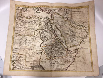
Map of Egypt. 1839.
Similar Sale History
View More Items in Maps & AtlasesRelated Maps & Atlases
More Items in Maps & Atlases
View MoreRecommended Transportation & Travel Collectibles
View More


Item Details
Description
Print of steel engraving.
Author unknown.
Engraved by G. Boynton.
From „The second book of History, including The modern history of Europe, Africa, and Asia. Illustrated by engravings and sixteen maps, and designed as a sequel to the First book of history, by the author of Peter Perley‘s tales. Thirtd-Fifth edition. Boston: Charles J. Hendee, and Jenks and Palmer. 1839“.
Egypt is a transcontinental country spanning the northeast corner of Africa and southwest corner of Asia, via a land bridge formed by the Sinai Peninsula. It is the world's only contiguous Eurafrasian nation and most of Egypt's territory of 1,010,000 square kilometres (390,000 sq mi) lies within the Nile Valley. It is a Mediterranean country and is bordered by the Gaza Strip and Israel to the northeast, the Gulf of Aqaba to the east, the Red Sea to the east and south, Sudan to the south and Libya to the west.
Condition
Approx. image size 15 x 10, 8/17, 9 x 13, 6 cm.
Condition: medium.
Buyer's Premium
- 0%
Map of Egypt. 1839.
Estimate €5 - €7
Get approved to bid.
Shipping & Pickup Options
Item located in Vilnius, ltSee Policy for Shipping
Payment

Related Searches
TOP


![Hondius Map of Morocco: HONDIUS, Jodocus (1563-1612) / MERCATOR, Gerard (1512-1594). [Morocco] Fessae et Marocchi Regna. Engraving with original hand color. Amsterdam, c. 1606 or later. 17 3/4" x 21" sheet. Comparable: Old W](https://p1.liveauctioneers.com/1968/169571/85465312_1_x.jpg?height=310&quality=70&version=1590242353)


![[Maps] Gio. Ant. Magnini, Italia, 1620: [Maps] Gio. Ant. Magnini, Italia, 1620, Giovanni Antonio Magnini. Italia, data in luce da Fabio suo figliuolo al Serenissimo Ferdinado Gonzaga Duca di Matoua edi Monserrato etc. Bologna, for Sebastian](https://p1.liveauctioneers.com/188/326797/176317457_1_x.jpg?height=310&quality=70&version=1713847031)
![[Maps] Martin Zeiler, Itinerarium Italiae, 1640: [Maps] Martin Zeiler, Itinerarium Italiae, 1640, Martini Zeilleri. Itinerarium Italiae Nov-Antiquae: oder, Raiss-Beschreibung durch Italien, Matthaus Merian, Frankfurt, 40 plates, most double-page, in](https://p1.liveauctioneers.com/188/326797/176317459_1_x.jpg?height=310&quality=70&version=1713847031)


