


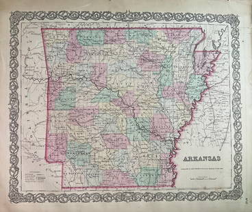
MAP OF ARKANSAS FROM BUCHON'S ATLAS OF AMERIQUE 1825
Similar Sale History

![1892 Watson/Cram Map of Texas [verso] Indian Territory: Title/Content of Map: 1892 Watson/Cram Map of Texas [verso] Indian Territory [verso] Arkansas -- Watson's Atlas Map of Texas [verso] Watson's Atlas Map of Indiand Ty. [verso] Watson's Atlas Map of Ark](https://p1.liveauctioneers.com/5584/133765/67935052_1_x.jpg?height=310&quality=70&version=1546475054)


Recommended Items
![Large Map of Texas (Western Part): Large Map of Texas (Western Part) With map of Louisiana and Arkansas [separately] on versos Cartographer: George Franklin Cram Dated: Circa 1900 Type: Color Lithograph Dime](https://p1.liveauctioneers.com/5614/330257/178045313_1_x.jpg?height=310&quality=70&version=1716032806)

![Pittsburg [Sic] Business District Rand, McNally & Co's New Business Atlas Map of Pittsburg. [Sic]: Publication Date: 1911 Title: Pittsburg [Sic] Business District Rand, McNally & Co's New Business Atlas Map of Pittsburg. [Sic] Cartographer: RAND, MCNALLY & CO. Publisher: RAND, MCNALLY & CO. Height:](https://p1.liveauctioneers.com/5584/331064/178466494_1_x.jpg?height=310&quality=70&version=1716924723)


Item Details
Description
Carte Geographique, Statistique et Historique du Territoire d'Arkansas Jean Alexandre Buchon. Based on the expeditions of H.S. Long exploration of the early western territories, including Arkansas Territory, and with the early western border in Missouri. Includes native American villages documented first by Lewis and Clark. Extends to present day Oklahoma. French descriptions. Folio, 21.25 x 27.5 inches. Engraved by Young & Delleker in 1822, and published by Carey and Lea. French edition by J. Carez, 1825.
Condition
Good condition, noting toning along wavy upper edge, folded vertically in the center, with archival reinforcing tape to reverse. Not laid down.
Buyer's Premium
- 16%
MAP OF ARKANSAS FROM BUCHON'S ATLAS OF AMERIQUE 1825
Estimate $150 - $300
1 bidder is watching this item.
Shipping & Pickup Options
Item located in Lone Jack, MO, usSee Policy for Shipping
Payment

Related Searches
TOP