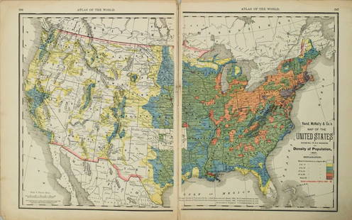
United States Map, Density of Population, 1895
Similar Sale History
Recommended Items


Item Details
Description
Original engraving from Atlas of the World by Rand McNally, 1895. Map includes counties, geographical landmarks, streets and population data. Dimensions: 21 1/4" x 14"
No Reserve
Buyer pays shipping - ships from Ocean View, DE
No Reserve
Buyer pays shipping - ships from Ocean View, DE
Condition
Excellent
Buyer's Premium
- 10%
United States Map, Density of Population, 1895
Estimate $200 - $400
1 bidder is watching this item.
Shipping & Pickup Options
Item located in IL, CA, OH, TX, FL, NY, usSee Policy for Shipping
Payment

Related Searches
TOP


