


Item Details
Description
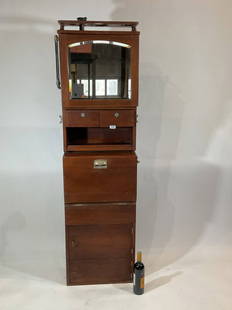
Maritime chart of the island of Martinique, This is an 1887 map produced by the Department of the Navy , bureau of equipment showing soundings in fathoms. Heights in feet, Also, showing buoys and lights. 42t x 36w . 18lbs
Buyer's Premium
- 25%
Martinique Chart from 1887
Estimate $1,000 - $2,000
Starting Price
$500
or 4 payments of $125.00 with 
3 bidders are watching this item.
Get approved to bid.
Shipping & Pickup Options
Item located in Norwell, MA, USShip with LiveAuctioneers
Arrange Your Own Shipping
Payment
Accepts seamless payments through LiveAuctioneers

Nautical Antique Spectacular Saturday May 11
Norwell, MA, USA


Related Nautical & Maritime Collectibles


More Items in Nautical & Maritime Collectibles
View More


Recommended Transportation & Travel Collectibles
View More


Related Searches
TOP