


Jefferys, Authentic Plan of the River St. Laurence - First State
Similar Sale History
View More Items in Wine & Spirits

![CLEMENS, SAMUEL L. (1835-1910): [Mark Twain] – ‘The Adventures of Huckleberry Finn’, first American edition, NY, 1885, early printing (BAL 3415 first states except Port-frontis in state 2, and pg. 283 questionable), with green](https://p1.liveauctioneers.com/522/74043/38256587_1_x.jpg?height=310&quality=70&version=1435006640)


Related Wine & Spirits


More Items in Wine & Spirits
View More


Recommended Collectibles
View More


![George Washington Signed Discharge: Partly printed discharge document signed by George Washington, as Commander in Chief of the Armies of the United States. Newburgh, [New York], 4 January 1783. 1 page, ## x ## in. Undersigned by Washin](https://p1.liveauctioneers.com/7226/322253/173251475_1_x.jpg?height=310&quality=70&version=1710004847)

![[Ambrotype] Texas Confederate Soldier: Sixth plate ambrotype. Full leatherette case. Portrait of a possible Texas Confederate soldier. A silver star device was used to pin up the brim of his light-toned headgear, a look often seen in image](https://p1.liveauctioneers.com/7226/322253/173251509_1_x.jpg?height=310&quality=70&version=1710004847)


Item Details
Description
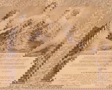
JEFFERYS, Thomas (c. 1719 - 1771).
An Authentic Plan of the River St. Laurence from Silleru to the Fall of Montmorenci with the operations of the Siege of Quebec...
Engraved map with original hand color.
London, 1760 (First State).
15 7/8" x 21 1/2" sheet.
Engraved French and Indian War battle plan with inset maps of the 'Action gained by the English Sepr. 13 1759 near Quebec' and the 'Port of the Upper River of St. Laurence', The first state which lacks Jeffeys's imprint before the price in the lower right corner.
Buyer's Premium
- 25%
Jefferys, Authentic Plan of the River St. Laurence - First State
Estimate $4,000 - $6,000
7 bidders are watching this item.
Shipping & Pickup Options
Item located in New York, NY, usOffers In-House Shipping
Local Pickup Available
Payment
Accepts seamless payments through LiveAuctioneers

Related Searches
TOP