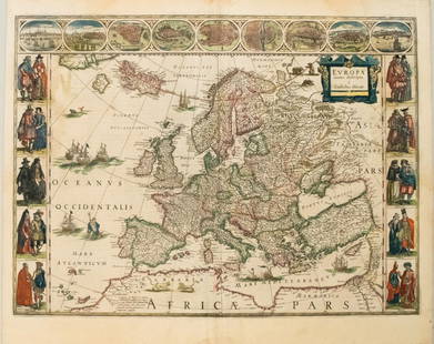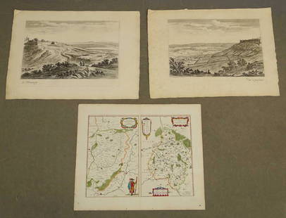
MAP, Peru, Blaeu
Similar Sale History
View More Items in Maps & AtlasesRelated Maps & Atlases
More Items in Maps & Atlases
View MoreRecommended Transportation & Travel Collectibles
View More


Item Details
Description
Peru. Willem Blaeu, Peru, from Novus Atlas, 1634 (circa). Hand Color. Beautifully engraved map based on the cartography of Hessel Gerritsz. The map covers the Pacific coast of South America from Ecuador as far south as the Atacama Desert in the northern reaches of Chile. It includes the Potosi silver mines, Titicaca, Cusco, Quito, and numerous other towns and villages. The dramatic strapwork cartouche incorporates both the title and the distance scales. A large compass rose orients the map with north to the left. It is further decorated with four Spanish galleons and three sea monsters. This is one of the plates that Blaeu acquired from the widow of Jodocus Hondius in 1629. German text on verso, published in 1634 or 1635.
LITERATURE: Van der Krogt (Vol. II) #9820:2.2.
LITERATURE: Van der Krogt (Vol. II) #9820:2.2.
Condition
A nice impression on a lightly toned sheet with light scattered foxing and dampstaining that faintly appears in the map image around the centerfold at top. There is a repaired hole in the bottom margin. Grade: B+
Dimensions
14.8 x 19.3 in
Buyer's Premium
- 20% up to $5,000.00
- 15% above $5,000.00
MAP, Peru, Blaeu
Estimate $220 - $250
1 bidder is watching this item.
Shipping & Pickup Options
Item located in Richmond, VA, usOffers In-House Shipping
Local Pickup Available
Payment
Accepts seamless payments through LiveAuctioneers

TOP


![Fimbiae Vulgo Femeren, Island Germany Map, Blaeu, 1667: TITLE/CONTENT OF MAP: 'Fimbiae vulgo Femeren delineatio geometrica [Fimbiae commonly known as Fehmarn (Femern)]' Other places marked or shown on the map include Borg (Burg auf Fehmarn), Peterstorp (Pe](https://p1.liveauctioneers.com/5584/102908/52607369_1_x.jpg?height=310&quality=70&version=1492721880)


![[ANTIQUE MAPS] BLAEU - INSVLAE ALBION 1630: [ANTIQUE MAPS] BLAEU, WILLEM "Insula Albion et Hibernia cum minoribus adjacentibus" Circa 1630-50. 58X41cm. Frame not included. Map will be removed from frame and securely shipped in cardboard tube. N](https://p1.liveauctioneers.com/8321/253807/131946563_1_x.jpg?height=310&quality=70&version=1657219627)


![A marked improvement on the Hondius map of 1606 (Burden): [MAP-NORTH AMERICA] [JANSSON, JAN]. Virginiae partis australis et Floridae partis orientalis, interjacentiumq, regionum Nova Descriptio. Amsterdam: Blaeu, circa 1640. Second state (left cherub with ta](https://p1.liveauctioneers.com/292/326828/175962857_1_x.jpg?height=310&quality=70&version=1713473479)


