


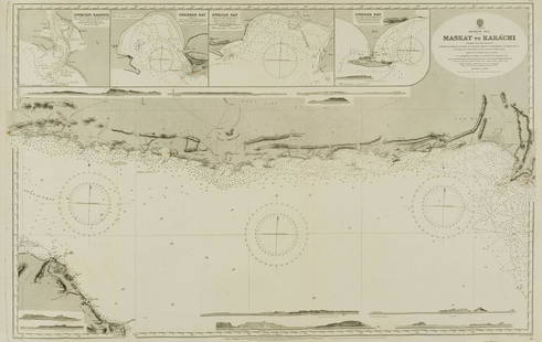
US Hydrographic Office Map, Keppel Isles to Sandy Cape
Similar Sale History
View More Items in Maps & Atlases


Related Maps & Atlases


![North-west Europe. Nordic Countries. British Isles Scandinavia. THOMSON 1830 map: TITLE/CONTENT OF MAP: [Europe after the Congress of Vienna - North-west sheet] DATE PRINTED: 1830 IMAGE SIZE: Approx 53.0 x 65.0cm, 20.75 x 25.5 inches (Large); Please note that this is a folding map.](https://p1.liveauctioneers.com/5584/328641/177014337_1_x.jpg?height=310&quality=70&version=1715113718)
![North-west Europe. Nordic Countries. British Isles Scandinavia. THOMSON 1817 map: CAPTION PRINTED BELOW PICTURE: [Europe after the Congress of Vienna - North-west sheet] DATE PRINTED: Published in 1817. Engraved in 1816; this date is marked on the map IMAGE SIZE: Approx 53.0 x 63.0](https://p1.liveauctioneers.com/5584/328641/177014463_1_x.jpg?height=310&quality=70&version=1715113718)


![Isles de Corse et de Sardaigne. Corsica and Sardinia. BONNE 1787 old map: TITLE/CONTENT OF MAP: Isles de Corse et de Sardaigne [The islands of Corsica and Sardinia] DATE PRINTED: 1787 IMAGE SIZE: Approx 36.0 x 24.5cm, 14 x 9.75 inches (Large); Please note that this is a fol](https://p1.liveauctioneers.com/5584/328641/177014474_1_x.jpg?height=310&quality=70&version=1715113718)


More Items in Maps & Atlases
View More


![[Maps] Gio. Ant. Magnini, Italia, 1620: [Maps] Gio. Ant. Magnini, Italia, 1620, Giovanni Antonio Magnini. Italia, data in luce da Fabio suo figliuolo al Serenissimo Ferdinado Gonzaga Duca di Matoua edi Monserrato etc. Bologna, for Sebastian](https://p1.liveauctioneers.com/188/326797/176317457_1_x.jpg?height=310&quality=70&version=1713847031)
![[Maps] Martin Zeiler, Itinerarium Italiae, 1640: [Maps] Martin Zeiler, Itinerarium Italiae, 1640, Martini Zeilleri. Itinerarium Italiae Nov-Antiquae: oder, Raiss-Beschreibung durch Italien, Matthaus Merian, Frankfurt, 40 plates, most double-page, in](https://p1.liveauctioneers.com/188/326797/176317459_1_x.jpg?height=310&quality=70&version=1713847031)


Recommended Transportation & Travel Collectibles
View More


Item Details
Description
Title "US Hydrographic Office Map, Keppel Isles to Sandy Cape, East Coast Australia". A map depicting the East Coast of Australia from the Keppel Isles to Sandy Cape. Publishing stamp by "The U.S Navy Hydrographic Office" located on bottom.
Issued: 20th Century
Dimensions: 55"L x 36.5"W
Manufacturer: U.S Navy Hydrographic Office
Country of Origin: United States
Issued: 20th Century
Dimensions: 55"L x 36.5"W
Manufacturer: U.S Navy Hydrographic Office
Country of Origin: United States
Condition
Age related wear.
Buyer's Premium
- 25%
US Hydrographic Office Map, Keppel Isles to Sandy Cape
Estimate $10 - $200
1 bidder is watching this item.
Shipping & Pickup Options
Item located in Hollywood, FL, usOffers In-House Shipping
Local Pickup Available
Payment
Accepts seamless payments through LiveAuctioneers

Related Searches
TOP