Mediterranean.- Seale (Richard William) A correct Chart
Similar Sale History
View More Items in Maps & AtlasesRelated Maps & Atlases
More Items in Maps & Atlases
View MoreRecommended Transportation & Travel Collectibles
View More


Item Details
Description
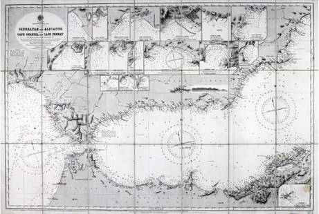
Mediterranean.- Seale (Richard William) A correct Chart of the Mediterranean Sea, from the Straits of Gibraltar to the Levant, chart of the Mediterranean focusing on the coastlines, with inset map of The Road of Leghorn (Livorno harbor) in the upper right, engraving with hand-colouring, 350 x 725 mm (13 3/4 x 28 1/2 in), old vertical folds, repairs to some minor nicks to left edge, unframed, [circa 1745].
Buyer's Premium
- 30% up to £300,000.00
- 25% up to £3,000,000.00
- 17.5% above £3,000,000.00
Mediterranean.- Seale (Richard William) A correct Chart
Estimate £200 - £300
1 bidder is watching this item.
Shipping & Pickup Options
Item located in London, London, ukOffers In-House Shipping
Local Pickup Available
Payment

Auction Curated By

International Head of Books and Works on Paper

Modern First Editions and 20th Century Literature
TOP


![British Isles.- The Channel.- Searle (Richard William): British Isles.- The Channel.- Searle (Richard William) A correct Chart of the English Channel from the No.Foreland to [...] Brest on the coast of France, sea chart of the Channel with four inset maps](https://p1.liveauctioneers.com/5458/156131/78785342_1_x.jpg?height=310&quality=70&version=1574849334)


