
 Discovery- InteriorsBonhamsSponsored.Your ad here?


Discovery- Interiors
Bonhams
Sponsored.Your ad here?


 Discovery- InteriorsBonhamsSponsored.Your ad here?


Discovery- Interiors
Bonhams
Sponsored.Your ad here?

Herman Moll Map of Africa ca. 1720
Herman Moll Sale History
View Price Results for Herman MollRelated Maps & Atlases
More Items in Maps & Atlases
View MoreRecommended Transportation & Travel Collectibles
View More


Item Details
Description
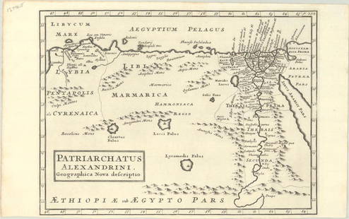
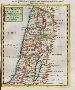
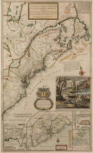
Herman Moll (ca. 1654-1732). Map of Africa, London, ca. 1720. With an elaborate dedication cartouche reading "To the right honourable Charles, Earl of Peterborow and Monmouth, etc this map of Africa according to ye newest and most exact obervations is most humbly dedicated by your Lordship's most humble Servant, H. Moll, Geographer." With inset illustrations of major cities in Africa, titled "Cape Coast Castle on ye Gold Coast of Guinea," "James Fort on the Island of Helena," "Fort of Good Hope," and "A Prospect of the Cape of Good Hope," which includes labeled place-names in the city. Dimensions: Sheet; height: 24 1/2 in x width: 40 1/2 in.
Condition
Good condition, vertical crease, area of loss along the upper right margin, some additional minor losses to extreme edges, and some minor soiling.
Buyer's Premium
- 28%
Herman Moll Map of Africa ca. 1720
Estimate $600 - $800
7 bidders are watching this item.
Shipping & Pickup Options
Item located in St. Paul, MN, usSee Policy for Shipping
Payment

TOP


![1761 NEW DICTIONARY OF TRADE & COMMERCE R. ROLT antique FOLIO ILLUSTRATED w/MAPS: A New Dictionary of Trade and Commerce... The Second edition [preface by Samuel Johnson] With the Addition of a New and Accurate Set of Maps... by Mr. Bowen. London: 1761 by Richard ROLT. Folio: 9.5 b](https://p1.liveauctioneers.com/5584/327967/176717236_1_x.jpg?height=310&quality=70&version=1714507672)


![[PICTORIAL MAPS – TRAVEL]. Three Pictorial Maps. 1940s/50s....: [PICTORIAL MAPS – TRAVEL]. Three Pictorial Maps. 1940s/50s. Three brochure sized foldout maps designed for travel including: Highroads to Happiness. Mexico City: Pemex Travel Club, ca. 1940s. &#](https://p1.liveauctioneers.com/928/325952/175495561_1_x.jpg?height=310&quality=70&version=1712935174)


![[Maps] Gio. Ant. Magnini, Italia, 1620: [Maps] Gio. Ant. Magnini, Italia, 1620, Giovanni Antonio Magnini. Italia, data in luce da Fabio suo figliuolo al Serenissimo Ferdinado Gonzaga Duca di Matoua edi Monserrato etc. Bologna, for Sebastian](https://p1.liveauctioneers.com/188/326797/176317457_1_x.jpg?height=310&quality=70&version=1713847031)


