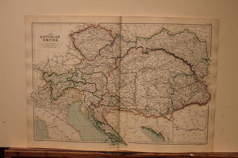
Bradford's Comprehensive Atlas 1835
Similar Sale History
View More Items in Maps & AtlasesRelated Maps & Atlases
More Items in Maps & Atlases
View MoreRecommended Transportation & Travel Collectibles
View More


Item Details
Description
Author: Bradford, Thomas Gamaliel
Title: A Comprehensive Atlas Geographical, Historical & Commercial
Place Published: Boston / New York / Philadelphia
Publisher:William D. Ticknor / Wiley & Long / T.T. Ash
Date Published: [1835]
Description:
With 61 (of 63) engraved maps with hand-colored outlines; 3 engraved plates with hand-colored borders (one with 15 U.S. city maps, one with 6 maps and one with 4 maps of major cities from around world); 8 (of 10) engraved plates (3 with some hand-coloring and 2 with several vignettes); pictorially engraved title page. (4to) 32.5x25 cm (12¾x10", half leather and marbled boards.
Bradford's important atlas detailing the geography of the U.S. and the world at the midway point of the first half of the 19th century. Lacking the frontispiece; 60. Map of the United States; 65. Map of Mexico and Guatemala; 146. Details respecting the Modes of Travelling; 147. Details respecting the Modes of Building. Two of the maps, (Canada and the Ancient World) are detached with considerable wear.
Condition
Buyer's Premium
- 25%
Bradford's Comprehensive Atlas 1835
Shipping & Pickup Options
Item located in San Francisco, CA, usPayment


![[Maps] Gio. Ant. Magnini, Italia, 1620: [Maps] Gio. Ant. Magnini, Italia, 1620, Giovanni Antonio Magnini. Italia, data in luce da Fabio suo figliuolo al Serenissimo Ferdinado Gonzaga Duca di Matoua edi Monserrato etc. Bologna, for Sebastian](https://p1.liveauctioneers.com/188/326797/176317457_1_x.jpg?height=310&quality=70&version=1713847031)
![[Maps] Martin Zeiler, Itinerarium Italiae, 1640: [Maps] Martin Zeiler, Itinerarium Italiae, 1640, Martini Zeilleri. Itinerarium Italiae Nov-Antiquae: oder, Raiss-Beschreibung durch Italien, Matthaus Merian, Frankfurt, 40 plates, most double-page, in](https://p1.liveauctioneers.com/188/326797/176317459_1_x.jpg?height=310&quality=70&version=1713847031)


![[MAP]. TODESCHI, Pietro. [Nova et Acurata Totius Americae Tabula auct. G.I. Blaeu] America quarta: [MAP]. TODESCHI, Pietro. [Nova et Acurata Totius Americae Tabula auct. G.I. Blaeu] America quarta pars orbis quam plerunq, nuvum orbem appellitant primo detecta est anno 1492 a Christophoro Columbo...](https://p1.liveauctioneers.com/197/329395/177650542_1_x.jpg?height=310&quality=70&version=1715364962)


