17th C. Dutch Map of Castille by Henricus Hondius
Similar Sale History
Recommended Items


Item Details
Description
Henricus Hondius II or Hendrick Hondius the Younger (Dutch, 1597-1651). Place and date of publication: Amsterdam, ca. 1635-1666. A copperplate engraved detailed map of the central kingdom of Castile around Madrid, decorated with a beautiful title piece, the arms of Spain, and a dedication. Verso text in French. This map was created by Henricus Hondius II, the son of famous cartographer named Jodocus Hondius who founded a map-making enterprise in Amsterdam. It comes from "Nouveau Theatre du Monde ou Nouvel Atlas comprenant Les Tables et Descriptions de toutes les Regions de la Terre". Size: plate - 19.875" W x 16.25" H (50.5 cm x 41.3 cm); sheet 22" W x 18.75" H (55.9 cm x 47.6 cm)
Provenance: ex-Denenberg Fine Arts, Los Angeles, California, USA
All items legal to buy/sell under U.S. Statute covering cultural patrimony Code 2600, CHAPTER 14, and are guaranteed to be as described or your money back.
A Certificate of Authenticity will accompany all winning bids.
We ship worldwide to most countries and handle all shipping in-house for your convenience.
#136701
Condition
Normal toning and areas of foxing to paper. Strong centerfold. Some creasing, expected losses, and several tears to margins as shown.
Buyer's Premium
- 24.5%
17th C. Dutch Map of Castille by Henricus Hondius
Estimate $400 - $600
2 bidders are watching this item.
Shipping & Pickup Options
Item located in Louisville, CO, usSee Policy for Shipping
Payment

Related Searches
TOP


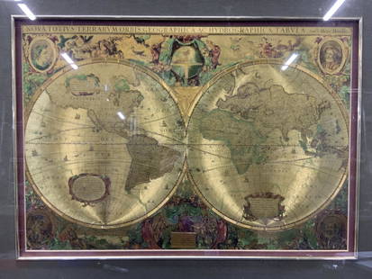
![Latin Double Hemisphere Map in Bronze Frame: Double hemisphere map of the world by Henricus Hondius II (Dutch, 1597-1651), offset print, in a bronze frame. [Sight: 20 1/2 x 29 1/2 inches; Frame: 22 x 31 inches]. In good condition.](https://p1.liveauctioneers.com/1221/177486/89638020_1_x.jpg?height=310&quality=70&version=1599275200)


![Les voyages de Rubruquis, Marco Polo, Jenkinson'. BELLIN/SCHLEY 1749 old map: CAPTION PRINTED BELOW PICTURE: Carte pour les Voyages de Rubruquis, Marco Polo, Jenkinson, &c [Map showing the explorations of William of Rubruck, Marco Polo, Anthony Jenkinson, &c.] Northern Asia: Si](https://p1.liveauctioneers.com/5584/329387/177649177_1_x.jpg?height=310&quality=70&version=1715717898)
![Royaumes de Siam, Tunquin, Pegu, Ava, Aracan'. Indochina. BELLIN 1751 old map: CAPTION PRINTED BELOW PICTURE: Carte des Royaumes de Siam, de Tunquin, Pegu, Ava, Aracan, &c [Map of the kingdoms of Siam, Tonkin, Pegu, Ava, Arakan, &c] DATE PRINTED: 1751 IMAGE SIZE: Approx 28.5 x 2](https://p1.liveauctioneers.com/5584/329387/177649212_1_x.jpg?height=310&quality=70&version=1715717898)
