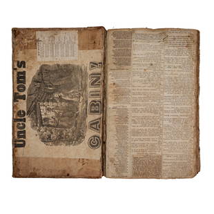
London.- Andrews (John) Andrews's Accurate Map of the
Similar Sale History
View More Items in Books, Magazines & Papers
Related Books, Magazines & Papers
More Items in Books, Magazines & Papers
View MoreRecommended Collectibles
View More


Item Details
Description
London.- Andrews (John) Andrews's Accurate Map of the Country, Twenty-Five Miles Round London, showing north west of central London, from Windsor to Rochford in the east, and from Sevenoak up to Ware, engraving with hand-colouring, 1050 x 1370 mm. (39 1/2 x 54 in), dissected and mounted on linen, some surface light browning and minor offsetting, folding into contemporary marbled slipcase, with manuscript label, [cf. Howgego 160 (3)], John Stockdale, 1807.
Buyer's Premium
- 30% up to £100,000.00
- 25% up to £1,000,000.00
- 17% above £1,000,000.00
London.- Andrews (John) Andrews's Accurate Map of the
Estimate £150 - £200
1 bidder is watching this item.
Get approved to bid.
Shipping & Pickup Options
Item located in London, ukSee Policy for Shipping
Payment

TOP


![Jefferson. Notes on Virginia, 1787: Jefferson, Thomas. NOTES ON THE STATE OF VIRGINIA. London: John Stockdale, 1787. 8.25" x 4.75". [4], 382 pp., plus one folding chart; lacks folding map. Bound in recent full black leather with spine r](https://p1.liveauctioneers.com/3532/176090/88636267_1_x.jpg?height=310&quality=70&version=1596942787)


![George Washington Signed Discharge: Partly printed discharge document signed by George Washington, as Commander in Chief of the Armies of the United States. Newburgh, [New York], 4 January 1783. 1 page, ## x ## in. Undersigned by Washin](https://p1.liveauctioneers.com/7226/322253/173251475_1_x.jpg?height=310&quality=70&version=1710004847)
![[Ambrotype] Texas Confederate Soldier: Sixth plate ambrotype. Full leatherette case. Portrait of a possible Texas Confederate soldier. A silver star device was used to pin up the brim of his light-toned headgear, a look often seen in image](https://p1.liveauctioneers.com/7226/322253/173251509_1_x.jpg?height=310&quality=70&version=1710004847)


![Captured Bowie Knife w/ Period Note of Provenance: Captured Confederate D-hilt Bowie knife. [Kenansville, North Carolina]: [Louis Froelich factory]. With original metal and leather sheath with affixed period notes. First note with only remnants. Secon](https://p1.liveauctioneers.com/7226/325455/175169154_1_x.jpg?height=310&quality=70&version=1712370394)
