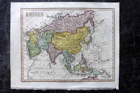
1778 PROVINCE of NEW JERSEY FRAMED MAP
Similar Sale History
View More Items in Maps & Atlases
Related Maps & Atlases
More Items in Maps & Atlases
View MoreRecommended Transportation & Travel Collectibles
View More


Item Details
Description
Antique map of New Jersey, issued by William Faden in 1778 and drawn from Bernard Ratzer’s survey made in 1769 just prior to the American Revolutionary War. This is a second edition that includes the notation: “Great use has been made of several Military Surveys generously Communicated by Officers of the British Troops and of the Regiments of Hesse and Anspach”. ; includes parts of Pennsylvania, Maryland, New York and Long Island. In its bottom right corner, the map features a table of ‘Astronomical observations’. Matted and framed. Frame has finish loss. 33" by 27" frame. The map is Excellent
Buyer's Premium
- 20%
1778 PROVINCE of NEW JERSEY FRAMED MAP
Estimate $200 - $400
9 bidders are watching this item.
Shipping & Pickup Options
Item located in Willoughby, OH, usSee Policy for Shipping
Payment

Related Searches
TOP


![Antique Map of Scotland: [Antique Map of Scotland] "A New and Correct Map of Scotland or North Britain. with all the Post and Military roads, divisions & ca. Drawn from the most approved surveys, Illustrated with many additio](https://p1.liveauctioneers.com/268/328386/176967773_1_x.jpg?height=310&quality=70&version=1714748870)
![HAND COLORED MAP OF PERU & COUNTRY OF THE AMAZONS, 1747, BY EMANUEL BOWEN, FRAMED: A New And Accurate Map Of Peru And The Country Of The Amazones. Drawn From The Most Authentick French Maps &C. And Regulated By Astronomical Observations, London]: William Innys [et al.], 1747. A deta](https://p1.liveauctioneers.com/957/328836/177180798_1_x.jpg?height=310&quality=70&version=1715021458)


![[Maps] Gio. Ant. Magnini, Italia, 1620: [Maps] Gio. Ant. Magnini, Italia, 1620, Giovanni Antonio Magnini. Italia, data in luce da Fabio suo figliuolo al Serenissimo Ferdinado Gonzaga Duca di Matoua edi Monserrato etc. Bologna, for Sebastian](https://p1.liveauctioneers.com/188/326797/176317457_1_x.jpg?height=310&quality=70&version=1713847031)
![[Maps] Martin Zeiler, Itinerarium Italiae, 1640: [Maps] Martin Zeiler, Itinerarium Italiae, 1640, Martini Zeilleri. Itinerarium Italiae Nov-Antiquae: oder, Raiss-Beschreibung durch Italien, Matthaus Merian, Frankfurt, 40 plates, most double-page, in](https://p1.liveauctioneers.com/188/326797/176317459_1_x.jpg?height=310&quality=70&version=1713847031)


