


Geo F Cramm 1892 map of Europe
Similar Sale History
View More Items in Maps & Atlases


![Cram: Antique Map of Nevada: [Nevada]. Chicago: Geo. F. Cram, n.d. Coloured map. ca.1800. Approximately 20-3/4 x 13-3/4 inches image area, printed in black on cream paper, with hand colouring. Matted and shrink wrapped. Fine. The](https://p1.liveauctioneers.com/5584/107399/55057768_1_x.jpg?height=310&quality=70&version=1501794677)


Related Maps & Atlases


![South-west & Central Europe. Switzerland includes Haute-Savoie. THOMSON 1830 map: TITLE/CONTENT OF MAP: [Europe after the Congress of Vienna - South-west sheet] An oddly-misshapen Switzerland erroneously includes what is now the French departement of Haute Savoie and part of Savoie](https://p1.liveauctioneers.com/5584/328641/177014316_1_x.jpg?height=310&quality=70&version=1715113718)


More Items in Maps & Atlases
View More

![[Maps] Martin Zeiler, Itinerarium Italiae, 1640: [Maps] Martin Zeiler, Itinerarium Italiae, 1640, Martini Zeilleri. Itinerarium Italiae Nov-Antiquae: oder, Raiss-Beschreibung durch Italien, Matthaus Merian, Frankfurt, 40 plates, most double-page, in](https://p1.liveauctioneers.com/188/326797/176317459_1_x.jpg?height=310&quality=70&version=1713847031)
![[Maps] Gio. Ant. Magnini, Italia, 1620: [Maps] Gio. Ant. Magnini, Italia, 1620, Giovanni Antonio Magnini. Italia, data in luce da Fabio suo figliuolo al Serenissimo Ferdinado Gonzaga Duca di Matoua edi Monserrato etc. Bologna, for Sebastian](https://p1.liveauctioneers.com/188/326797/176317457_1_x.jpg?height=310&quality=70&version=1713847031)


![[MAP]. TODESCHI, Pietro. [Nova et Acurata Totius Americae Tabula auct. G.I. Blaeu] America quarta: [MAP]. TODESCHI, Pietro. [Nova et Acurata Totius Americae Tabula auct. G.I. Blaeu] America quarta pars orbis quam plerunq, nuvum orbem appellitant primo detecta est anno 1492 a Christophoro Columbo...](https://p1.liveauctioneers.com/197/329395/177650542_1_x.jpg?height=310&quality=70&version=1715364962)


Recommended Transportation & Travel Collectibles
View More


Item Details
Description
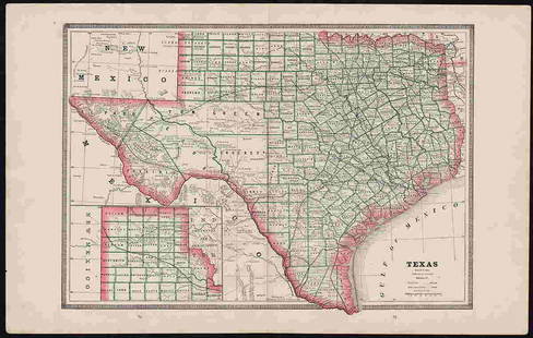
Geo F Cramm 1892 map of Europe. 23 1/4"h x 30"w
Buyer's Premium
- 21%
Geo F Cramm 1892 map of Europe
Estimate $200 - $400
1 bidder is watching this item.
Shipping & Pickup Options
Item located in Roswell, GA, usSee Policy for Shipping
Payment

TOP