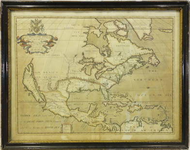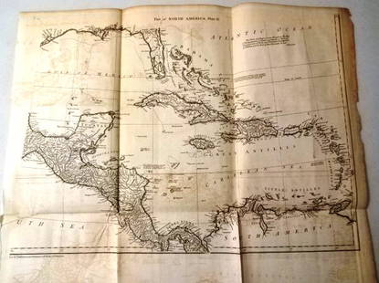
DeLisle map of much of North America 1730 issue
Similar Sale History
Recommended Items


Item Details
Description
Heading:
Author: DeLisle, Guillaume
Title: Carte De La Louisiane Et Du Cours Du Mississipi Dressée sur un grand numbre de Memoires entr'autres sur ceux de Mr. le Maire Par Guillme De L'Isle de l'Acadamie Rle. des Sciences
Place Published: Amsterdam
Publisher:Covens & Mortier
Date Published: [1730]
Description:
Engraved map, title in upper margin, colored in outline. Inset of Mississippi delta, Mobile, etc. 44x59.5 cm (17 ¼x23½").
The original issue is dated 1718 and is a notable map for its representation of the Mississippi river and its tributaries and the west. It became the model for much of the 18th century. It was the first map to use the name Texas - "Mission de los Teyas etablie en 1716". The map extends from the mouth of the Rio Grande to the south edges of Lake Superior; and from Long Island in New York to the Rio Grande in New Mexico.
Provenance: Altman's, '65
Condition
Top and bottom margins with toning and some tape residue not affecting image, short repair on verso at lower centerfold; very good or better.
Buyer's Premium
- 23%
DeLisle map of much of North America 1730 issue
Estimate $1,500 - $2,500
4 bidders are watching this item.
Shipping & Pickup Options
Item located in San Francisco, CA, usSee Policy for Shipping
Payment

Related Searches
TOP


