
 Discovery- InteriorsBonhamsSponsored.Your ad here?


Discovery- Interiors
Bonhams
Sponsored.Your ad here?


 Discovery- InteriorsBonhamsSponsored.Your ad here?


Discovery- Interiors
Bonhams
Sponsored.Your ad here?

MAPS OF SCANDINAVIA AND EUROPE.
Similar Sale History
View More Items in Maps & Atlases
Related Maps & Atlases
More Items in Maps & Atlases
View MoreRecommended Transportation & Travel Collectibles
View More


Item Details
Description
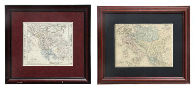
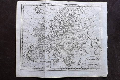
"Map of Northern Scandinavia" by Henri Liebaux for French Cartographer Guillaume de L'isle, 1706 hand-colored engraving with later coloring, 21.5"h. 27.5"w., framed. Together with 20th Century map of Europe reprint, 17"h. 21"w., framed.
Condition
Scandinavian map has toning, coloring is later.
Buyer's Premium
- 25%
MAPS OF SCANDINAVIA AND EUROPE.
Estimate $100 - $300
3 bidders are watching this item.
Shipping & Pickup Options
Item located in Columbus, OH, usOffers In-House Shipping
Local Pickup Available
Payment

TOP


![1761 NEW DICTIONARY OF TRADE & COMMERCE R. ROLT antique FOLIO ILLUSTRATED w/MAPS: A New Dictionary of Trade and Commerce... The Second edition [preface by Samuel Johnson] With the Addition of a New and Accurate Set of Maps... by Mr. Bowen. London: 1761 by Richard ROLT. Folio: 9.5 b](https://p1.liveauctioneers.com/5584/327967/176717236_1_x.jpg?height=310&quality=70&version=1714507672)
![[Maps] Martin Zeiler, Itinerarium Italiae, 1640: [Maps] Martin Zeiler, Itinerarium Italiae, 1640, Martini Zeilleri. Itinerarium Italiae Nov-Antiquae: oder, Raiss-Beschreibung durch Italien, Matthaus Merian, Frankfurt, 40 plates, most double-page, in](https://p1.liveauctioneers.com/188/326797/176317459_1_x.jpg?height=310&quality=70&version=1713847031)

![[Maps] Gio. Ant. Magnini, Italia, 1620: [Maps] Gio. Ant. Magnini, Italia, 1620, Giovanni Antonio Magnini. Italia, data in luce da Fabio suo figliuolo al Serenissimo Ferdinado Gonzaga Duca di Matoua edi Monserrato etc. Bologna, for Sebastian](https://p1.liveauctioneers.com/188/326797/176317457_1_x.jpg?height=310&quality=70&version=1713847031)


