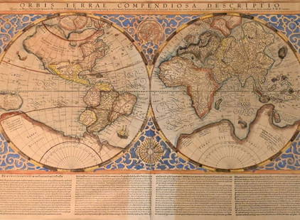
A 17th Century Map of France, Gerard Mercator
Similar Sale History
View More Items in Maps & Atlases
Related Maps & Atlases
More Items in Maps & Atlases
View MoreRecommended Transportation & Travel Collectibles
View More


Item Details
Description
Aquitania australis Regnu Arelatense cum Confinijs, with decorative title cartouche at the upper left, center seamed and hand colored.
Dimensions: sight is 14 1/2" x 18 1/2", the frame 22 1/2" x 26 1/2".
Condition
Toned, minor stains, and it appears that there is a repair to the upper right corner, not examined out of the frame.
Buyer's Premium
- 25%
A 17th Century Map of France, Gerard Mercator
Estimate $200 - $300
6 bidders are watching this item.
Shipping & Pickup Options
Item located in Pineville, PA, usSee Policy for Shipping
Local Pickup Available
Payment
Accepts seamless payments through LiveAuctioneers

Related Searches
TOP


![EUROPAE. [Ortelius, Ca. 1584-1612.] Map.: [Ortelius, Abraham] EUROPAE. [C. 1584-1612.] Engraved map by Ortelius based on Jenkinson’s Russia map and Gastaldi’s maps of Africa and Asia, Gerard Mercator’s 1564 map of Britain, a map of Scan](https://p1.liveauctioneers.com/179/82189/42599765_1_x.jpg?height=310&quality=70&version=1447864785)


![A desirable early issue of Hondius map of Virginia and Florida: [MAP-NORTH AMERICA] MERCATOR, GERARD and HONDIUS, JOCODUS. Virginiae item et Floridae Americae Provinciarum, nova descriptio. [Amsterdam: Jodocus Hondius, 1607 or later]. Hand-colored engraved map. Wi](https://p1.liveauctioneers.com/292/326828/175962855_1_x.jpg?height=310&quality=70&version=1713473479)


![The État Major Maps of France - the larger and more detailed successor to Cassini: [MAPS – FRANCE] LES OFFICERS DE L'ÉTAT MAJOR, engraved at the DÉPOT DE GUERRE, under the direction of LIEUTENANT GENERAL PELET. France Dressée par l'État-Major. Paris: Dé](https://p1.liveauctioneers.com/292/326828/175962851_1_x.jpg?height=310&quality=70&version=1713473479)


![Mercator's map of China 1606: Heading: (China, Korea & Japan) Author: Mercator, Gerard Title: China Place Published: [Antwerp] Publisher: Date Published: [1606 - printed later] Description: Copper-engraved map,](https://p1.liveauctioneers.com/642/326037/175553816_1_x.jpg?height=310&quality=70&version=1713477451)


