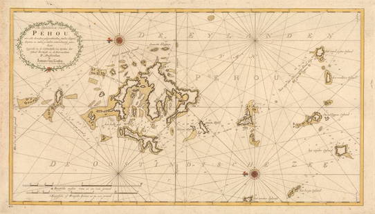
LARGE EARLY 18TH C. DUTCH CHART OF UPPER NORTH AMERICA, PIERRE MORTIER (1661-1711), FRAMED
Similar Sale History
View More Items in Maps & Atlases

Related Maps & Atlases
More Items in Maps & Atlases
View MoreRecommended Transportation & Travel Collectibles
View More


Item Details
Description
"Carte Particuliere de L Amerique septentrionale, ou font Compris le Destroit de Davids le des Troit de Hudson, &c. dreffe fur les Relations les plus Nouvelles. A Amsterdam. Chez Pierre Mortier, Libraire. Avec Privilege de nas Seigneurs les Etats." Baffin Bay, Greenland, Iceland, Labrador, New South Wales. Copper engraving, with later handcoloring, published ca.1704 in Pierre Mortier's famous sea-atlas "Le Neptune Francois." Printed from 2 plates, sheets joined, as issued. A strong impression in excellent condition. OS: 26 1/2" x 36". Image size: 23" x 32 1/2".
Buyer's Premium
- 25%
LARGE EARLY 18TH C. DUTCH CHART OF UPPER NORTH AMERICA, PIERRE MORTIER (1661-1711), FRAMED
Estimate $800 - $1,200
5 bidders are watching this item.
Get approved to bid.
Shipping & Pickup Options
Item located in Thomaston, ME, usOffers In-House Shipping
Local Pickup Available
Payment
Accepts seamless payments through LiveAuctioneers

TOP


![l'Arménie, la Géorgie et la Daghistan Caucasus. SANTINI/RIZZI-ZANNONI 1784 map: TITLE/CONTENT OF MAP: l'Arménie, la Géorgie, et la Daghistan [Armenia, Georgia, and Dagestan] A decorative 18th century map of the Caucasus region covering present day Georgia, much of Armen](https://p1.liveauctioneers.com/5584/328641/177014372_1_x.jpg?height=310&quality=70&version=1715113718)


![[Maps] Gio. Ant. Magnini, Italia, 1620: [Maps] Gio. Ant. Magnini, Italia, 1620, Giovanni Antonio Magnini. Italia, data in luce da Fabio suo figliuolo al Serenissimo Ferdinado Gonzaga Duca di Matoua edi Monserrato etc. Bologna, for Sebastian](https://p1.liveauctioneers.com/188/326797/176317457_1_x.jpg?height=310&quality=70&version=1713847031)
![[Maps] Martin Zeiler, Itinerarium Italiae, 1640: [Maps] Martin Zeiler, Itinerarium Italiae, 1640, Martini Zeilleri. Itinerarium Italiae Nov-Antiquae: oder, Raiss-Beschreibung durch Italien, Matthaus Merian, Frankfurt, 40 plates, most double-page, in](https://p1.liveauctioneers.com/188/326797/176317459_1_x.jpg?height=310&quality=70&version=1713847031)


![[MAP]. TODESCHI, Pietro. [Nova et Acurata Totius Americae Tabula auct. G.I. Blaeu] America quarta: [MAP]. TODESCHI, Pietro. [Nova et Acurata Totius Americae Tabula auct. G.I. Blaeu] America quarta pars orbis quam plerunq, nuvum orbem appellitant primo detecta est anno 1492 a Christophoro Columbo...](https://p1.liveauctioneers.com/197/329395/177650542_1_x.jpg?height=310&quality=70&version=1715364962)


