


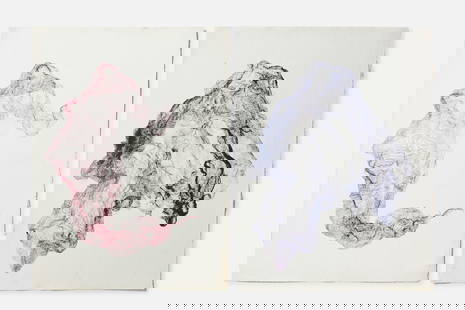
Kircher, pub. 1678 - Map of the Americas (Hydrological and Subterranean markings)
Similar Sale History
View More Items in Prints & Multiples


Related Prints & Multiples


More Items in Prints & Multiples
View More


Recommended Art
View More


Item Details
Description
This scientific engraving is Athanasius Kircher's Mundus subterraneus, in XII Libros digestus; Qvo Divinum Subterrestris Mundi Opificium, mira Ergasteriorum Natur? in eo distributio, verbo Pantamorphon Protei Regnum, Univers? denique Natur? majestas & diviti? summa rerum varietate exponuntur, Abditorum effectuum Caus? acri indagine inquisit? demonstrantur, cognit? per Artis & Naturae conjugium ad Human? vit? necessarium usum vario Experimentorum apparatu, necnon novo modo & ratione applicantur; Ad Alexandrum VII. Pontoon. Opt. Max....Editio tertia.... This from the third edition of the work published in Amsterdam in 1678 by Joannem ? Waesberge & Filios.
This work was based off Kircher's visit to Sicily in 1637-8 when Etna and Stromboli both erupted. This observation led him to conclude that the earth's center as a massive internal fire and that volcanoes acted as safety valves. His work speculated on geology, hidden lakes, rivers of fire, strange inhabitants, the sun, the moon, eclipses, currents, meteorology, medicines, poisons, and even fireworks. The work ?must always command a high place in the literature as the first effort to describe the earth from a physical standpoint.? (Zittel, p. 25)
Athanasius Kircher (1601-1680) was a Jesuit priest and scholar. He gathered and helped disseminate knowledge from around the world gathered by Jesuit missionaries. It is believed he was the first to depict the Pacific Ring of Fire on a map. He was one of the final Renaissance men. He lowered himself into Vesuvius after an eruption, experimented with bioluminescence as a light source, and make the first known Aeolian harp. He wrote 44 books, over 2000 manuscripts, and assembled one of the first natural history collections. Kircher's work was itself fascinating for its thematic maps. His work was on the underground passages and subterranean networks of the globe. He created a map that was the first to show ocean currents.
Provenance: On first endpaper was a mounted letter to Carl Sahlin from the prioress of the Altom?nster monastery dated 1926. Originally owned by the Birgittine monastery in Altom?nster, Upper Bavaria. With inscription of Simon H?rmann (1631-1701), 14th prior of the monastery in 1631, General prior of the Order in 1675, he also made the house of Saint Brigid in Rome a property of the Altom?nster monastery. Later from the Library of Carl Sahlin (1861-1943) and industrialist and writer on science of mining and metallurgy --- Paper Size ~ 15" by 17 1/2"
Condition
The work is in very good to excellent condition. There may be a few minor imperfections to be expected with age. Please review the image carefully for condition and contact us with any questions.
Buyer's Premium
- 10%
Kircher, pub. 1678 - Map of the Americas (Hydrological and Subterranean markings)
Estimate $1,500 - $2,500
2 bidders are watching this item.
Shipping & Pickup Options
Item located in Franklin, TN, usOffers In-House Shipping
Payment
Accepts seamless payments through LiveAuctioneers

TOP