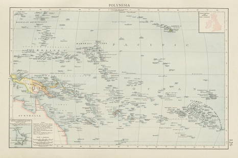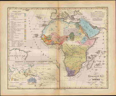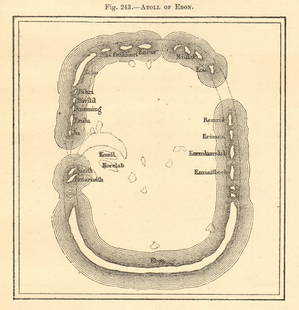
1840 Maps of the Pacific Islands
Similar Sale History
View More Items in Maps & Atlases
Related Maps & Atlases
More Items in Maps & Atlases
View MoreRecommended Transportation & Travel Collectibles
View More


Item Details
Description
VITI Group for Feejee Islands. 26" x 29 1/2", M'BUA or Sandlewood Bay Island of Vanua Levu 20" x 26", Whippy Harbour, Sura Harbor, Granby Harbor & Ndrongga Harbor 26" x 20", Muthuata Island to Ivaca Peak 20" x 26", Total of 3 Maps Island of Lendrua, Nucumurry Harbor and Wallea Bay 26" x 20", 2 Maps of One Island, Ovolau - Levuka Harbour 26" x 20", 2 Maps Island & Harbour of Mbenga and Rewa Roads 26" x 20". Some staining and wear. See photos for condition and details. Local pick-up available on February 4th or 3rd party shipping available. Please see terms
Buyer's Premium
- 18% up to $100,000,000.00
- 18% above $100,000,000.00
1840 Maps of the Pacific Islands
Estimate $25 - $200
9 bidders are watching this item.
Shipping & Pickup Options
Item located in Worcester, MA, usSee Policy for Shipping
Local Pickup Available
Payment
Accepts seamless payments through LiveAuctioneers

Related Searches
TOP


![1894 Johnston Map of Oceania [verso] Island in the Indian Ocean and Near Africa -- Oceania [verso]: Title: 1894 Johnston Map of Oceania [verso] Island in the Indian Ocean and Near Africa -- Oceania [verso] Madagascar; Mauritius; Seychelles; Cape Town; St. Helena and Ascension Islands; Socotra; Aden](https://p1.liveauctioneers.com/5584/328338/176911535_1_x.jpg?height=310&quality=70&version=1715113718)

![Grecian Archipelago & Mediterranean Shores. Aegean islands. HUGHES 1859 map: CAPTION PRINTED BELOW PICTURE: The Grecian Archipelago. // the shores of the Mediterranean [The Adriatic, and the Black Sea] DATE PRINTED: 1859 IMAGE SIZE: Approx 37.0 x 54.0cm, 14.75 x 21.25 inches (](https://p1.liveauctioneers.com/5584/328641/177014339_1_x.jpg?height=310&quality=70&version=1715113718)

![Hyperboreorum/Septentrionalum regionum. Bertius/Langenes. Europe Arctic 1603 map: CAPTION PRINTED BELOW PICTURE: Descriptio Hyperboreorum / Septentrionalum regionu[m] descrip. [The northern latitudes] The map features the phantom island of Frisland off the coast of Greenland, south](https://p1.liveauctioneers.com/5584/328641/177014168_1_x.jpg?height=310&quality=70&version=1715113718)


![[Maps] Gio. Ant. Magnini, Italia, 1620: [Maps] Gio. Ant. Magnini, Italia, 1620, Giovanni Antonio Magnini. Italia, data in luce da Fabio suo figliuolo al Serenissimo Ferdinado Gonzaga Duca di Matoua edi Monserrato etc. Bologna, for Sebastian](https://p1.liveauctioneers.com/188/326797/176317457_1_x.jpg?height=310&quality=70&version=1713847031)
![[Maps] Martin Zeiler, Itinerarium Italiae, 1640: [Maps] Martin Zeiler, Itinerarium Italiae, 1640, Martini Zeilleri. Itinerarium Italiae Nov-Antiquae: oder, Raiss-Beschreibung durch Italien, Matthaus Merian, Frankfurt, 40 plates, most double-page, in](https://p1.liveauctioneers.com/188/326797/176317459_1_x.jpg?height=310&quality=70&version=1713847031)


![[MAP]. TODESCHI, Pietro. [Nova et Acurata Totius Americae Tabula auct. G.I. Blaeu] America quarta: [MAP]. TODESCHI, Pietro. [Nova et Acurata Totius Americae Tabula auct. G.I. Blaeu] America quarta pars orbis quam plerunq, nuvum orbem appellitant primo detecta est anno 1492 a Christophoro Columbo...](https://p1.liveauctioneers.com/197/329395/177650542_1_x.jpg?height=310&quality=70&version=1715364962)


