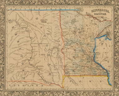
Cadastral map of land in Portola district SF 1869
Similar Sale History
View More Items in Maps & Atlases

Related Maps & Atlases
More Items in Maps & Atlases
View MoreRecommended Transportation & Travel Collectibles
View More


Item Details
Description
Heading: -1869
Author:
Title: Plan of the Haley Purchase, west of and adjoining the Hudson Tract. To be sold by Maurice Dore & Co. April 27th, 1869. Title U.S. Patent, and Bernal Rancho
Place Published: San Francisco
Publisher:Steam Press Britton & Rey
Date Published: 1869
Description:
Author:
Title: Plan of the Haley Purchase, west of and adjoining the Hudson Tract. To be sold by Maurice Dore & Co. April 27th, 1869. Title U.S. Patent, and Bernal Rancho
Place Published: San Francisco
Publisher:Steam Press Britton & Rey
Date Published: 1869
Description:
Lithographed map. 48.8x70.3 cm (19¼x27¾"), hinged to mat.
Cadastral map covering a portion of Portola District east of San Bruno Rd. [i.e. Ave.] from [Felton St.] to Woolsey St. Oriented with north toward lower right. Inset map showing relative position of Haley Purchase. OCLC locates only one copy, at the University of California Berkeley.
Additional shipping charges may applyCondition
Old folds, some creasing, several tears neatly repaired with tape on verso; very good.
Buyer's Premium
- 30%
Cadastral map of land in Portola district SF 1869
Estimate $1,000 - $1,500
Shipping & Pickup Options
Item located in Berkeley, CA, usOffers In-House Shipping
Local Pickup Available
Payment

Related Searches
TOP


![Electoral districts of California & S.F. in 1902: Heading: (California) Author: Curry, C.F., compiler Title: Sheet with six color maps, one of San Francisco, the others of California, showing electoral districts Place Published: [Sacramento, CA] Publ](https://p1.liveauctioneers.com/642/213263/108964068_1_x.jpg?height=310&quality=70&version=1627941972)
![Gold rush Australia showing gold districts in yellow.: TITLE/CONTENT OF MAP: 'Australia [inset: Van Diemen's Land]' The top image on the right hand side shows the entire map. To view a close up of the map showing the level of printed detail, please click](https://p1.liveauctioneers.com/5584/124870/63536078_1_x.jpg?height=310&quality=70&version=1531863645)


![[Maps] Martin Zeiler, Itinerarium Italiae, 1640: [Maps] Martin Zeiler, Itinerarium Italiae, 1640, Martini Zeilleri. Itinerarium Italiae Nov-Antiquae: oder, Raiss-Beschreibung durch Italien, Matthaus Merian, Frankfurt, 40 plates, most double-page, in](https://p1.liveauctioneers.com/188/326797/176317459_1_x.jpg?height=310&quality=70&version=1713847031)


![[Maps] Gio. Ant. Magnini, Italia, 1620: [Maps] Gio. Ant. Magnini, Italia, 1620, Giovanni Antonio Magnini. Italia, data in luce da Fabio suo figliuolo al Serenissimo Ferdinado Gonzaga Duca di Matoua edi Monserrato etc. Bologna, for Sebastian](https://p1.liveauctioneers.com/188/326797/176317457_1_x.jpg?height=310&quality=70&version=1713847031)


