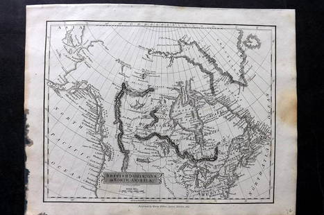
[Maps & Atlases] Senex, John North America Corrected
John Senex Sale History
View Price Results for John Senex

Related Maps & Atlases
More Items in Maps & Atlases
View MoreRecommended Transportation & Travel Collectibles
View More
![[Maps & Atlases] Senex, John North America Corrected](https://p1.liveauctioneers.com/65/234475/121443112_1_x.jpg?quality=1&version=1643120112&width=486)
![[Maps & Atlases] Senex, John North America Corrected](https://p1.liveauctioneers.com/65/234475/121443112_1_x.jpg?quality=80&version=1643120112)
Item Details
Description
London: John Senex, 1710. Engraved map, with contemporary hand-coloring (darkened). 40 x 26 3/4 in. (102 x 68 cm). Laid down on linen; toned; scattered spotting; scattered short closed tears along edges. In frame, 42 3/4 x 29 1/2 in. (108 x 75 cm). Tooley/Stevens & Tree 61 (variant, with Price and Maxwell's names deleted from title, and without imprint below scales, bottom left).
An early large-scale and influential English map of North America, featuring some of the-then most up-to-date cartographic information regarding the region. Senex drew heavily on French cartographer Guillaume de l'Isle (1675-1726), consolidating several of his influential maps to depict the region from the north in Canada from Baffin Bay and terra incognito above it, down south to Mexico and Central America, and out west to California.
Buyer's Premium
- 31% up to $600,000.00
- 26% up to $3,000,000.00
- 18% above $3,000,000.00
[Maps & Atlases] Senex, John North America Corrected
Shipping & Pickup Options
Item located in Philadelphia, PA, usPayment

Auction Curated By


![Spanish North America. THOMSON. Texas, Mexico & Southwestern USA 1817 map: Title: "Spanish North America". THOMSON. Texas, Mexico & Southwestern USA 1817 map Description: Spanish North America [northern part] by Drawn & engraved for John Thomson's "New General Atlas" (Publis](https://p1.liveauctioneers.com/5584/314775/168780323_1_x.jpg?height=310&quality=70&version=1704837726)


![Map of Turky, Arabia and Persia. Corrected from the: [In A New general atlas : containing a geographical and historical account of all the empires, kingdoms and other dominions of the world, by John Senex][London, 1721]47 cm x 57 cm Watermarked paper. O](https://p1.liveauctioneers.com/6940/190006/95714289_1_x.jpg?height=310&quality=70&version=1609447005)


![[Maps] Martin Zeiler, Itinerarium Italiae, 1640: [Maps] Martin Zeiler, Itinerarium Italiae, 1640, Martini Zeilleri. Itinerarium Italiae Nov-Antiquae: oder, Raiss-Beschreibung durch Italien, Matthaus Merian, Frankfurt, 40 plates, most double-page, in](https://p1.liveauctioneers.com/188/326797/176317459_1_x.jpg?height=310&quality=70&version=1713847031)
![[Maps] Gio. Ant. Magnini, Italia, 1620: [Maps] Gio. Ant. Magnini, Italia, 1620, Giovanni Antonio Magnini. Italia, data in luce da Fabio suo figliuolo al Serenissimo Ferdinado Gonzaga Duca di Matoua edi Monserrato etc. Bologna, for Sebastian](https://p1.liveauctioneers.com/188/326797/176317457_1_x.jpg?height=310&quality=70&version=1713847031)


![[MAP]. TODESCHI, Pietro. [Nova et Acurata Totius Americae Tabula auct. G.I. Blaeu] America quarta: [MAP]. TODESCHI, Pietro. [Nova et Acurata Totius Americae Tabula auct. G.I. Blaeu] America quarta pars orbis quam plerunq, nuvum orbem appellitant primo detecta est anno 1492 a Christophoro Columbo...](https://p1.liveauctioneers.com/197/329395/177650542_1_x.jpg?height=310&quality=70&version=1715364962)


