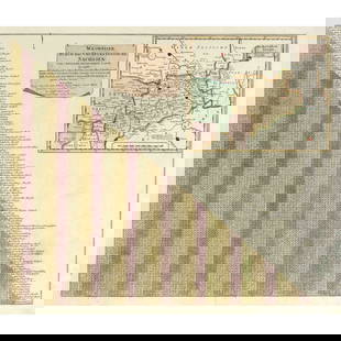
Bartlett map of U.S.-Mexican border 1854
Similar Sale History


Recommended Items


Item Details
Description
Title: General Map Showing the Countries Explored & Surveyed by the United States & Mexican Boundary Commission, in the Years 1850, 51, 52 & 53, under the Direction of John R. Bartlett, U.S. Commissioner
Author: Bartlett, John R.
Description: Lithographed map. 38.7x49.4 cm. (15¼x19¾").Significant map of the American west and northern Mexico, from Bartlett's "Personal Narrative of Explorations and Incidents in Texas, New Mexico, California, Sonora, and Chihuahua, Connected with the United States and Mexican Boundary Commission, During the Years 1850, '51, '52, and '53." Much detail is invested in the regions newly wrested from the Mexican Republic. Wheat Transmississippi 798.
Heading: zzf(United States - West)Place Published: New York
Publisher: J.H. Colton
Date Published: [1854]
Condition
Marginal tear at right with earlier one repaired; near fine.
Buyer's Premium
- 22.5% up to $100,000.00
- 17.5% above $100,000.00
Bartlett map of U.S.-Mexican border 1854
Estimate $300 - $500
Shipping & Pickup Options
Item located in San Francisco, CA, usSee Policy for Shipping
Payment

Related Searches
TOP


![1857 Emory Maps of Magnetic Declanation Lines and Sections along the US Mexican Border -- United: Title: 1857 Emory Maps of Magnetic Declanation Lines and Sections along the US Mexican Border -- United States & Mexican Boundary Survey [with] Section Constructed from Surveys Under the Direction of](https://p1.liveauctioneers.com/5584/331064/178466398_1_x.jpg?height=310&quality=70&version=1716924723)


![THE COTSWOLDS & SEVERN VALLEY. Gloucestershire & West Oxfordshire. CARY 1832 map: CAPTION PRINTED BELOW PICTURE: [Sheet 25 - The Cotswolds. Parts of Gloucestershire, Herefordshire, Oxfordshire, Berkshire, Wiltshire] DATE PRINTED: 1832 IMAGE SIZE: Approx 54.5 x 66.5cm, 21.25 x 26.25](https://p1.liveauctioneers.com/5584/332390/179262968_1_x.jpg?height=310&quality=70&version=1717528223)


![Kent.- Lambarde (William) A Perambulation of Kent, first edition, [Henry Middleton] for Ralph: Kent.- Lambarde (William) A Perambulation of Kent, first edition, black letter, engraved map after Richard Lyne, additional f. signed H2 'The names of Kentish writers', woodcut decorative initials, a](https://p1.liveauctioneers.com/5458/332455/179303761_1_x.jpg?height=310&quality=70&version=1717586421)


