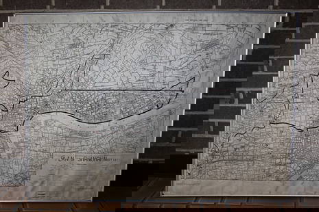
Map of Ancient Dacia, Pannonia, Illirya and Moesia
Similar Sale History
View More Items in Maps & Atlases
Related Maps & Atlases
More Items in Maps & Atlases
View MoreRecommended Transportation & Travel Collectibles
View More


Item Details
Description
Colour outlined map of the ancient regions of Dacia, Pannonia, Illyria and Moesia, today's Balkan Peninsula (Croatia, Bulgaria, Romania and Slovenia) from the Adriatic Sea to the Black Sea published by Adrien-Hubert Bru? (1786-1832) in " Atlas universel de geographie physique, politique, ancienne & moderne" with the authors impressed copyright seal, Paris 1822. Dim: 39.4 x 54.6 cm.
Country: ROMANIA
Country: ROMANIA
Buyer's Premium
- 27.5%
Map of Ancient Dacia, Pannonia, Illirya and Moesia
Estimate €250 - €500
3 bidders are watching this item.
Shipping & Pickup Options
Item located in Vienna, atOffers In-House Shipping
Local Pickup Available
Payment

Related Searches
TOP


![Janssonius: Map of Ancient Germany, 1645: TITLE/CONTENT OF MAP: 'Germaniae Veteris Nova Descriptio [Ancient Germany newly described]' A map of ancient Germany, based on Ortelius' map, which was in turn based on the writings of Ptolemy, Pliny,](https://p1.liveauctioneers.com/5584/103242/52831744_1_x.jpg?height=310&quality=70&version=1493321322)


![[MAP]. TODESCHI, Pietro. [Nova et Acurata Totius Americae Tabula auct. G.I. Blaeu] America quarta: [MAP]. TODESCHI, Pietro. [Nova et Acurata Totius Americae Tabula auct. G.I. Blaeu] America quarta pars orbis quam plerunq, nuvum orbem appellitant primo detecta est anno 1492 a Christophoro Columbo...](https://p1.liveauctioneers.com/197/329395/177650542_1_x.jpg?height=310&quality=70&version=1715364962)


![[MAPS]. HOMANN, Johann Baptist, HOMANN HEIRS, and Georg Matthäus SEUTTER. [Composite Atlas].: [MAPS]. HOMANN, Johann Baptist (1663-1724), HOMANN HEIRS, and Georg Matthäus SEUTTER (1678-1757). [Composite Atlas]. [Nuremberg, Augsburg, and others: Homann Heirs and others, maps dated between](https://p1.liveauctioneers.com/197/329395/177650530_1_x.jpg?height=310&quality=70&version=1715364962)


![[MAP]. ORTELIUS, Abraham. Turcici Imperii Descriptio.1592.: [MAP]. ORTELIUS, Abraham (1527-1598). Turcici Imperii Descriptio. Antwerp, 1592. Engraved map with hand-coloring. Matted, framed, and double glazed, sight 406 x 521 mm (unexamined out of frame). Decor](https://p1.liveauctioneers.com/197/329395/177650538_1_x.jpg?height=310&quality=70&version=1715364962)
![[MAP]. ORTELIUS, Abraham. Americae Sive Novi Orbis, Nova Descriptio. 1573.: [MAP]. ORTELIUS, Abraham (1527-1598). Americae Sive Novi Orbis, Nova Descriptio. Antwerp, 1573. Engraved map with hand-coloring. Framed and double glazed, visible area 375 x 521 mm (unexamined out of](https://p1.liveauctioneers.com/197/329395/177650534_1_x.jpg?height=310&quality=70&version=1715364962)


