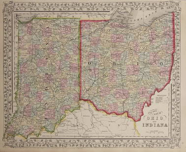
A Map Of The County Of Kent. Samuel Parker, 1719.
Similar Sale History
View More Items in Maps & AtlasesRelated Maps & Atlases
More Items in Maps & Atlases
View MoreRecommended Transportation & Travel Collectibles
View More


Item Details
Description
[British Counties] A Map Of The County Of Kent. Samuel Parker, 1719. Folding map on 2 adjoined folding sheets, giving an impressively detailed depiction of rivers and towns in the county at the southeastern corner of England. Tables at the lower left divide Kent between Lathes, Bayliwicks, Hundreds, and a list of Market Towns, with a separate list of Cathedrals/ Parish Churches, Ports, and Franchises. Inset of "Dover Castle and Towne." Includes over 100 engraved shields. 22 1/2 x 32 in. Trimmed to outer edge of border, otherwise very good.
Buyer's Premium
- 25%
A Map Of The County Of Kent. Samuel Parker, 1719.
Estimate $200 - $300
1 bidder is watching this item.
Shipping & Pickup Options
Item located in Falls Church, VA, usSee Policy for Shipping
Payment

Related Searches
TOP


![Kent.- Blaeu (Johannes) Cantium Vernacule Kent, engraved map with hand-colouring, [c. 1660].: NO RESERVE Kent.- Blaeu (Johannes) Cantium Vernacule Kent, county map, engraving with early hand-colouring, platemark 400 x 530 mm (15 3/4 x 20 3/4 in), sheet 520 x 630 mm (20 1/2 x 24 3/4 in), centra](https://p1.liveauctioneers.com/5458/260724/135800539_1_x.jpg?height=310&quality=70&version=1662479034)


![[Maps] Martin Zeiler, Itinerarium Italiae, 1640: [Maps] Martin Zeiler, Itinerarium Italiae, 1640, Martini Zeilleri. Itinerarium Italiae Nov-Antiquae: oder, Raiss-Beschreibung durch Italien, Matthaus Merian, Frankfurt, 40 plates, most double-page, in](https://p1.liveauctioneers.com/188/326797/176317459_1_x.jpg?height=310&quality=70&version=1713847031)
![[Maps] Gio. Ant. Magnini, Italia, 1620: [Maps] Gio. Ant. Magnini, Italia, 1620, Giovanni Antonio Magnini. Italia, data in luce da Fabio suo figliuolo al Serenissimo Ferdinado Gonzaga Duca di Matoua edi Monserrato etc. Bologna, for Sebastian](https://p1.liveauctioneers.com/188/326797/176317457_1_x.jpg?height=310&quality=70&version=1713847031)


