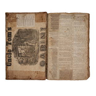
1846 US History & Topography Illustrated Maps Canals US
Similar Sale History
View More Items in Books
Related Books
More Items in Books
View MoreRecommended Books, Magazines & Papers
View More


Item Details
Description
1846 US History & Topography Illustrated Maps Canals US Sea-Ports Botany John Hinton
John Howard Hinton was an English author. Among his many other works, he published “The history and Topography of the United States” in 1830.
A comprehensive history of The United States of America. This work covers a variety of subjects pertinent to US history including customs, laws, geology, botany, zoology and, much more! This second edition features two volumes bound in leather, as one. It contains 40+ illustrations, including maps, throughout.
Item number: #2445
Price: $350
HINTON, John Howard
The history and topography of the United States of North America : brought down from the earliest period : comprising political and biographical history : geography, geology, mineralogy, zoology and botany : agriculture, manufactures, and commerce : laws, manners, customs, and religion : with a topographical description of the cities, towns, sea-ports, public edifices, canals…by John Howard Hinton ; assisted by several literary gentlemen in England and America ; with additions and corrections by Samuel L. Knapp ; and a continuation to the present time by John O. Choules
Boston : S. Walker, 1846. Second Edition.
Details:
•Collation: Complete with all pages; 2 volumes in 1
oVol. I – 444
12 engravings
oVol II – 519, [1], [viii], [viii]
29 engravings
•Language: English
•Binding: Leather; tight & secure
oFront board detached but present
oBack board attached only by rope cords
•Size: ~11.75in X 10in X 3in (30cm x 25.5cm x 8cm)
Our Guarantee:
Very Fast. Very Safe. Free Shipping Worldwide.Customer satisfaction is our priority! Notify us with 7 days of receiving, and we will offer a full refund without reservation!2445
Condition
Very Good.
Buyer's Premium
- 0%
1846 US History & Topography Illustrated Maps Canals US
Estimate $350 - $700
13 bidders are watching this item.
Shipping & Pickup Options
Item located in Columbia, MO, usSee Policy for Shipping
Payment

Related Searches
TOP


![1493 NUREMBERG CHRONICLE antique INCUNABULA Liber chronicarum HARTMANN SCHEDEL: NUREMBERG CHRONICLE SCHEDEL, HARTMANN (1440-1514) Liber chronicarum [in German: Das Buch der Croniken und Geschichten.] Nuremberg: Anton Koberger for Sebald Schreyer and Sebastian Kammermeister, 23 De](https://p1.liveauctioneers.com/5584/326497/175779675_1_x.jpg?height=310&quality=70&version=1713903087)


