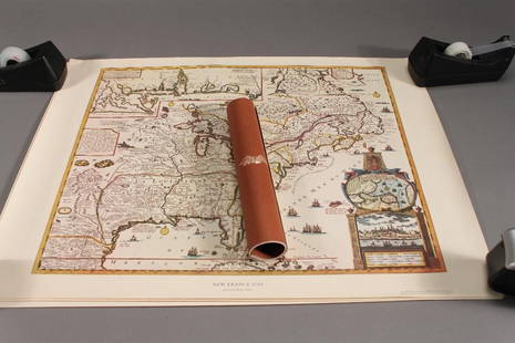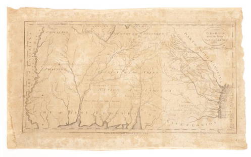
Early maps of American in facsimiile
Similar Sale History
Recommended Items


Item Details
Description
Heading:
Author: Stevens, Henry N.
Title: The First Delineation of the New World and the First use of the Name America on a Printed Map
Place Published: London
Publisher:Henry Stevens, Son and Stiles
Date Published: 1928
Description:
Author: Stevens, Henry N.
Title: The First Delineation of the New World and the First use of the Name America on a Printed Map
Place Published: London
Publisher:Henry Stevens, Son and Stiles
Date Published: 1928
Description:
xvi, 127, [1] pp. With 2 folding facsimile maps. (4to) 31.5x25 cm. 12½x10, maroon cloth lettered in gilt, top edges gilt. First Edition.
The title continues: "An Analytical Comparison of Three Maps for each of which Priority of Representation has been claimed (two with name America and one without) With An Argument tending to demonstrate that the earliest in each case is the one discovered in 1893 and now preserved in The John Carter Brown Library at Providence, R.I." The facsimile maps are: The Stevens-John Carter Brown Map and The 1513 Ptolemy Map.
Condition
Fine or nearly so.
Buyer's Premium
- 23%
Early maps of American in facsimiile
Estimate $10 - $100
1 bidder is watching this item.
Shipping & Pickup Options
Item located in San Francisco, CA, usSee Policy for Shipping
Payment

Related Searches
TOP


![[MAPS]. A group of 5 maps from an early American edition of...: [MAPS]. A group of 5 maps from an early American edition of the Encyclopedia Britannica. [Philadelphia: Thomas Dobson, ca. 1790s to 1810s]. Copperplate engraved maps. 8vos to an oblong 4to (visible ar](https://p1.liveauctioneers.com/928/265343/138522751_1_x.jpg?height=310&quality=70&version=1666130009)


![HOMANN, Johann Baptist. Amplissimae Regionis Mississipi Seu Provinciae Ludovicianae. Nuremburg, [ca: [MAP]. HOMANN, Johann Baptist (1663-1724). Amplissimae Regionis Mississipi Seu Provinciae Ludovicianae. Nuremburg, [ca 1720]. Engraved map of the Mississippi region or Louisiana Province with surround](https://p1.liveauctioneers.com/197/329395/177650531_1_x.jpg?height=310&quality=70&version=1715364962)


