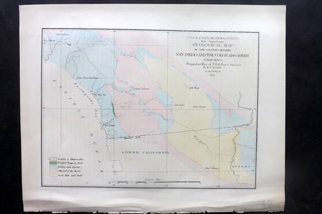
Map of the Country from the Rariton River...[1806]
Similar Sale History
Recommended Items


![Map of the Country from the Rariton River...[1806]](https://p1.liveauctioneers.com/179/96603/49249196_1_x.jpg?quality=1&version=1479429231&width=486)
![Map of the Country from the Rariton River...[1806]](https://p1.liveauctioneers.com/179/96603/49249196_1_x.jpg?quality=80&version=1479429231)
Item Details
Description
[Revolutionary War] [Richard Phillips.] A MAP OF THE COUNTRY FROM RARITON RIVER IN EAST JERSEY, TO ELK HEAD IN MARYLAND, SHEWING THE SEVERAL OPERATIONS OF THE AMERICAN & BRITISH ARMIES, IN 1776 & 1777. [1806]. Folding map showing troop positions around Philadelphia, Trenton, and central New Jersey, as far northeast as Sandy Hook. Locations of rivers, towns, and roads are shown. Trimmed to border. Publication information would otherwise appear in lower margin. Foxed, toned.
Buyer's Premium
- 25%
Map of the Country from the Rariton River...[1806]
Estimate $100 - $150
6 bidders are watching this item.
Shipping & Pickup Options
Item located in Falls Church, VA, usSee Policy for Shipping
Payment

Related Searches
TOP


![Alaska Map, 1898 [155038]: 1898 Alaska route of military expedition in charge of Captain EF Glenn, from Knik Arm to Tanana River. 31x12".Date: Country (if not USA): State: AlaskaCity: Provenance:](https://p1.liveauctioneers.com/2699/258185/134287533_1_x.jpg?height=310&quality=70&version=1660347389)


![Carte du Paraguay et des Pays voisins'. Uruguay Brazil. BELLIN/SCHLEY 1772 map: CAPTION PRINTED BELOW PICTURE: Carte du Paraguay et des Pays voisins [Map of Paraguay and neighbouring countries] The River Plate valley & estuary, including Uruguay, paraguay, southern Brazil, and no](https://p1.liveauctioneers.com/5584/330116/177980518_1_x.jpg?height=310&quality=70&version=1716324705)


![De Bry & Vopel Map of the Rhine River: DE BRY, Theodor de (1528-1598) after Caspar Vopel (1511–1561). [Rhine River Map] Rheni Tricornis et Vvidi Nova et Germana Descriptio, Additis Fluminibus... Engraved map. Frankfurt: T. de Bry, 1594.](https://p1.liveauctioneers.com/1968/330639/178336641_1_x.jpg?height=310&quality=70&version=1716827770)


