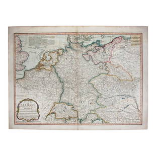
Map of Roman Empire in 1832. 1835.
Similar Sale History
View More Items in Maps & AtlasesRelated Maps & Atlases
More Items in European Maps & Atlases
View MoreRecommended Transportation & Travel Collectibles
View More


Item Details
Description
Print of hand colored steel engraving titled „Empire Romain 1832“.
Author C. V. Monin.
Engraved by unknown.
From the „Atlas Universel de Geography“ by C. V. Monin. Parsi. 1835.
The Roman Empire was the post-Republican period of the ancient Roman civilization, characterized by government headed by emperors and large territorial holdings around the Mediterranean Sea in Europe, Africa and Asia. The 500-year-old republic which preceded it was severely destabilized in a series of civil wars and political conflict, during which Julius Caesar was appointed as perpetual dictator and then assassinated in 44 BC. Civil wars and executions continued, culminating in the victory of Octavian, Caesar's adopted son, over Mark Antony and Cleopatra at the Battle of Actium in 31 BC and the annexation of Egypt. Octavian's power was now unassailable and in 27 BC the Roman Senate formally granted him overarching power and the new title Augustus, effectively marking the end of the Roman Republic.
Condition
Approx. image size 25, 3 x 19, 2/27, 7 x 21, 6 cm.
Condition: medium.
Buyer's Premium
- 0%
Map of Roman Empire in 1832. 1835.
Estimate €7 - €9
Get approved to bid.
Shipping & Pickup Options
Item located in Vilnius, ltSee Policy for Shipping
Payment

Related Searches
TOP


![[Maps & Atlases] Speed, John: The Turkish Empire: [Maps & Atlases] Speed, John: The Turkish Empire Speed, John The Turkish Empire (London): Roger Rea the Elder and younger, 1626 (but, 1662 or after). Engraved hand-colored map, 16 3/4 x 21 1/2 in. (42](https://p1.liveauctioneers.com/65/332523/179335176_1_x.jpg?height=310&quality=70&version=1717709446)


![Antique H/C Map EUROPE SOUS CHARLEMAGNE EN 814: EMPIRES D'OCCIDENT ET D'ORIENT: Antique 19th Century French Map EUROPE SOUS CHARLEMAGNE EN 814: EMPIRES D'OCCIDENT ET D'ORIENT [EUROPE UNDER CHARLEMAGNE IN 814: EMPIRES OF THE WEST AND EAST] by Charles V. Monin (French, 1830 - 1880)](https://p1.liveauctioneers.com/6084/330420/178181958_1_x.jpg?height=310&quality=70&version=1716391551)


![Underground Map of London. Tube network. Print code 419-25000-3/4/24. April 1924: CAPTION PRINTED BELOW PICTURE: Underground Map of London [Print code 419-25000-3/4/24] This is a paper edition of the geographic style Underground map. It shows all the Underground Group railways plus](https://p1.liveauctioneers.com/5584/332390/179263070_1_x.jpg?height=310&quality=70&version=1717528223)
![Underground Map of London. Tube network. No print code. June-August/mid 1924: CAPTION PRINTED BELOW PICTURE: Underground Map of London [No Print code] This is a paper edition of the geographic style Underground map. It shows all the Underground Group railways plus the Metropoli](https://p1.liveauctioneers.com/5584/332390/179263310_1_x.jpg?height=310&quality=70&version=1717528223)


![Ptolemy / Russcelli Map of Asia Showing Iran: After PTOLEMAEUS, Claudius (After 83- c.168 AD), RUSCELLI, Girolamo (1500-1566). [Persia / Iran] Tabula Asiae V. Engraved map. Venice: Ruscelli, 1561. 9" x 12 1/8" sheet. Ptolemaic map of the region b](https://p1.liveauctioneers.com/1968/330639/178336643_1_x.jpg?height=310&quality=70&version=1716827770)


