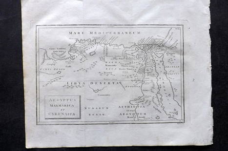
Bowen map of North Africa 1747
Similar Sale History
View More Items in Maps & Atlases
Related Maps & Atlases
More Items in Maps & Atlases
View MoreRecommended Transportation & Travel Collectibles
View More


Item Details
Description
Heading: (Map)
Author: Bowen, Emanuel
Title: A New & Accurate Map of the Western Parts of Barbary [on sheet with] A New & Accurate Map of the Eastern Parts of Barbary
Place Published: London
Publisher:
Date Published: 1747
Description:
Author: Bowen, Emanuel
Title: A New & Accurate Map of the Western Parts of Barbary [on sheet with] A New & Accurate Map of the Eastern Parts of Barbary
Place Published: London
Publisher:
Date Published: 1747
Description:
Two maps on one sheet. Overall 34.42.4 cm. (13½x16½").
Western Barbary, or North Africa, is on the top, including the Kingdom of Fez, Morocco, Algiers, the Strait of Gibraltar; at the bottom, eastern Barbary, from Tunis to the Nile Delta, Red Sea and Holy Land. Numerous place names and some descriptive text are engraved on the map.
Lots sold without reserve are sold “As Is” and are not returnable under any circumstances. The minimum shipping and handling per invoice is $20 for shipments to the US and $30 for shipments outside the US, please consider this when determining your bid amount.Condition
Mild darkening at centerfold, some faint staining and soiling; very good.
Buyer's Premium
- 23%
Bowen map of North Africa 1747
Estimate $10 - $100
Shipping & Pickup Options
Item located in San Francisco, CA, usSee Policy for Shipping
Payment

Related Searches
TOP


![Emanuel Bowen Map North & South Carolina, Georgia: [Emanuel Bowen Map of North & South Carolina and Georgia] , "A New & Accurate Map of the Provinces of North & South Carolina Georgia & c. Drawn from late Surveys and regulated by Astron Observat. By E](https://p1.liveauctioneers.com/268/293228/155705053_1_x.jpg?height=310&quality=70&version=1687296979)


![[Maps & Atlases] [Africa] Ortelius, Abraham, Group of 2: [Maps & Atlases] [Africa] Ortelius, AbrahamGroup of 2 MapsBarbariae et Biledulgerid, nova descriptio(Antwerp, ca. 1570-1612). Hand-colored engraving. Coastal map of North Africa and the Mediterranean,](https://p1.liveauctioneers.com/65/180189/90674454_1_x.jpg?height=310&quality=70&version=1601308774)


![[Maps] Martin Zeiler, Itinerarium Italiae, 1640: [Maps] Martin Zeiler, Itinerarium Italiae, 1640, Martini Zeilleri. Itinerarium Italiae Nov-Antiquae: oder, Raiss-Beschreibung durch Italien, Matthaus Merian, Frankfurt, 40 plates, most double-page, in](https://p1.liveauctioneers.com/188/326797/176317459_1_x.jpg?height=310&quality=70&version=1713847031)
![[Maps] Gio. Ant. Magnini, Italia, 1620: [Maps] Gio. Ant. Magnini, Italia, 1620, Giovanni Antonio Magnini. Italia, data in luce da Fabio suo figliuolo al Serenissimo Ferdinado Gonzaga Duca di Matoua edi Monserrato etc. Bologna, for Sebastian](https://p1.liveauctioneers.com/188/326797/176317457_1_x.jpg?height=310&quality=70&version=1713847031)


![[MAP]. TODESCHI, Pietro. [Nova et Acurata Totius Americae Tabula auct. G.I. Blaeu] America quarta: [MAP]. TODESCHI, Pietro. [Nova et Acurata Totius Americae Tabula auct. G.I. Blaeu] America quarta pars orbis quam plerunq, nuvum orbem appellitant primo detecta est anno 1492 a Christophoro Columbo...](https://p1.liveauctioneers.com/197/329395/177650542_1_x.jpg?height=310&quality=70&version=1715364962)


