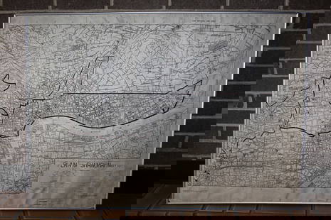
ANTIQUE SWITZERLAND MAP 1833
Similar Sale History
View More Items in Maps & AtlasesRelated Maps & Atlases
More Items in Maps & Atlases
View MoreRecommended Transportation & Travel Collectibles
View More


Item Details
Description
SIZE: 25.5 X 20 INCHES APPROX. UNFRAMED
Condition
AGE TONING, FOXING, CENTERFOLD AS ISSUED, SMALL TEAR LOWER CENTER. REFER TO PICTURES FOR DETAILS.
Buyer's Premium
- 0%
ANTIQUE SWITZERLAND MAP 1833
Estimate $300 - $400
Shipping & Pickup Options
Item located in MIAMI BEACH, FL, usOffers In-House Shipping
Payment
Accepts seamless payments through LiveAuctioneers

TOP


![Mercator World Map: *** START PRICE IS THE RESERVE *** [World] MERCATOR, Rumold (1545-1599). Orbis Terrae Compendiosa Descriptio Quam ex Magna Universali Mercatoris... Engraved Map with original hand color. Geneva, 1587.](https://p1.liveauctioneers.com/1968/163248/82424686_1_x.jpg?height=310&quality=70&version=1583340284)


![L' Asie. Asia Tartary China Mughal Empire. BUFFIER c1818 old antique map chart: CAPTION PRINTED BELOW PICTURE: L' Asie [Asia] DATE PRINTED: c1818 IMAGE SIZE: Approx 14.0 x 18.0cm, 5.5 x 7 inches (Medium); Please note that this is a folding map. TYPE: Antique engraved map CONDITIO](https://p1.liveauctioneers.com/5584/329387/177649271_1_x.jpg?height=310&quality=70&version=1715717898)


![[Maps] Gio. Ant. Magnini, Italia, 1620: [Maps] Gio. Ant. Magnini, Italia, 1620, Giovanni Antonio Magnini. Italia, data in luce da Fabio suo figliuolo al Serenissimo Ferdinado Gonzaga Duca di Matoua edi Monserrato etc. Bologna, for Sebastian](https://p1.liveauctioneers.com/188/326797/176317457_1_x.jpg?height=310&quality=70&version=1713847031)
![[Maps] Martin Zeiler, Itinerarium Italiae, 1640: [Maps] Martin Zeiler, Itinerarium Italiae, 1640, Martini Zeilleri. Itinerarium Italiae Nov-Antiquae: oder, Raiss-Beschreibung durch Italien, Matthaus Merian, Frankfurt, 40 plates, most double-page, in](https://p1.liveauctioneers.com/188/326797/176317459_1_x.jpg?height=310&quality=70&version=1713847031)


![[MAP]. TODESCHI, Pietro. [Nova et Acurata Totius Americae Tabula auct. G.I. Blaeu] America quarta: [MAP]. TODESCHI, Pietro. [Nova et Acurata Totius Americae Tabula auct. G.I. Blaeu] America quarta pars orbis quam plerunq, nuvum orbem appellitant primo detecta est anno 1492 a Christophoro Columbo...](https://p1.liveauctioneers.com/197/329395/177650542_1_x.jpg?height=310&quality=70&version=1715364962)


