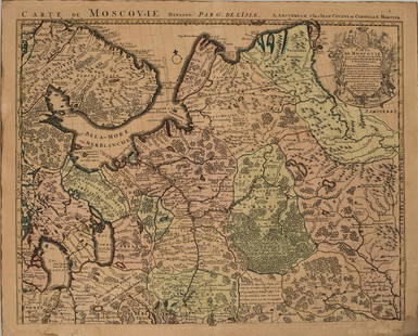
16th-20th Century Antiquarian Maps 2019-10-15 Auction - 153 Price Results - Jasper52 in NY
LiveAuctioneers Logo

1671 Montanus Map of Very Early Virginia -- NovaScarce view of Antwerp, c1580Gulf of Lapento. Off the Greek coast.
Done
New York, NY, United States
Auction Details

16th-20th Century Antiquarian Maps

Jasper52

Jasper52

badge TOP RATED
Explore both land and sea with this array of maps, which preserves the geography of nearly every region imaginable. Unlike modern maps, these original engravings trace borders as they evolved throughout history. Discover centuries-old views of every corner of America, or a rare Finley atlas from 1836! Not only will these maps serve as decorative pieces, but they also will reveal innumerable ways to view our world.
Auction Curator:
Steve Kovacs
Steve Kovacs
Maps Expert
Lot Number: Lowest
24
Scarce view of Antwerp, c1580: Scarce and stunning view of Antwerp from the first part of The Civitates Orbis Terrarum by Georg Braun and Frans Hogenberg. Printed from two copper plates. Full original hand coloring. The Civitates
0007: Scarce view of Antwerp, c1580Est. $1,500-$1,850Lot Passed
Map of the Coast of Maine: Title: Map of the Coast of Maine Date: 1915 Cartographer: WALKER LLITH. & PUB. CO. Publisher: WALKER LITH. & PUB. COL/NEW ENGLAND NEWS CO. Size: 20.6Height - 31.1Width Provenance: [Eastern Part] Map
0011: Map of the Coast of MaineEst. $150-$200Lot Passed
Uncommon 1855 map of Arkansas: “A New Map of Arkansas with its Counties, Towns, Post Offices, &c.” pub. by Cowperthwait, Desilver & Butler in their 1855 New General Atlas. Maps by Cowperthwait, Desilver & Butler are the least
0015: Uncommon 1855 map of ArkansasEst. $110-$125Lot Passed
Sold
Scarce 1848 Mitchell map of Ohio: Fully hand-colored authentic, antique and scarce map. Early map of Ohio from the increasingly scarce 1848 Mitchell New Universal Atlas. Contains an interesting depiction of the burgeoning
0017: Scarce 1848 Mitchell map of OhioEst. $125-$175
See Sold Price
Map of Dominion of Canada: Title: Map of Dominion of Canada Date: 1906 Cartographer: TORONTO LITHOGRAPHING CO., LTD. Publisher: DOMINION OF CANADA Size: 12.5Height - 21.75Width Provenance: Free 160 acres western Canada farm
0019: Map of Dominion of CanadaEst. $60-$70Lot Passed
Netherlands Zealand islands: Title/Content of Map: Netherlands Zealand islandsDate: 1576-1590.Cartographer: By PorcacchiMaterial/Medium: Copper plate engravedSize: 8x12”.Provenance: Republic of Venice With decorative title
0019A: Netherlands Zealand islandsEst. $200-$250Lot Passed
South Africa: Title: South Africa Date: c1899 Cartographer: EASTERN SPECIALTY MFG. CO. Publisher: EASTERN SPECIALTY MFG. CO. Size: 11.8Height - 19.3Width Provenance: Premium of Chase, Roberts & Co. manufacturers
0020: South AfricaEst. $90-$110Lot Passed
Sold
Northern Africa: Title: Northern Africa Date: 1828 Cartographer: YOUNG, J. H. Publisher: Anthony Finley Size: 8Height - 9.8Width Provenance: Detailed map, Plate XXV from his New General atlas. Northern half down to
0021: Northern AfricaEst. $50-$60
See Sold Price
Sold
Fort Sherman, Idaho.: Title: Fort Sherman, Idaho. Date: 1887 Cartographer: HILTON, J. M. Publisher: HOUSE OF REPRESENTATIVES Size: 11.3Height - 15.25Width Provenance: Shows roads, all buildings on Coeur d'Alene Lake at
0022: Fort Sherman, Idaho.Est. $60-$70
See Sold Price
View:
24
TOP